Dozens of earthquakes rumble beneath lake in Yellowstone National Park within 12 hours
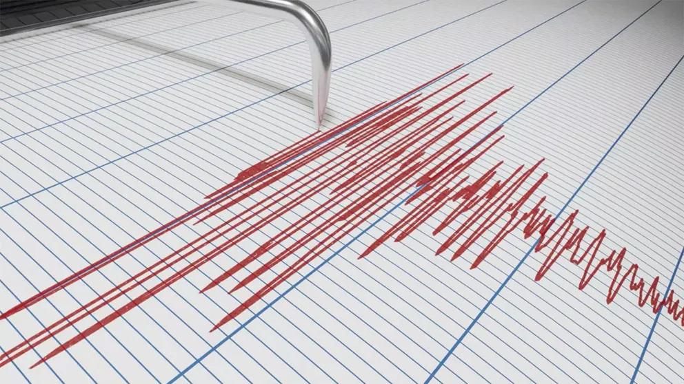
Two earthquakes in the latest sequence rated higher than magnitude 3.0.
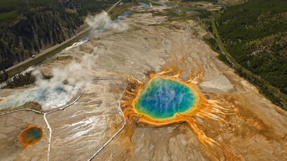
Yellowstone National Park
A look at the United States' first National Park: Yellowstone.
YELLOWSTONE NATIONAL PARK – Seismologists are monitoring Yellowstone National Park after seismographs at the University of Utah reported a series of earthquakes beneath the northern portion of Yellowstone Lake within the beloved national park.
According to the University of Utah, the sequence of earthquakes was reported to the south-southeast of Lake, Wyoming, and began on March 28 with a magnitude 0.7 quake just after 11 p.m. MDT.
Why earthquakes are felt differently in the US
While you may think quakes are a western US problem, some of the largest temblors in US history have happened in the East.
Within 12 hours, at least 60 earthquakes ranging from magnitude 0.1 to 3.7 were detected.
According to the University of Utah, additional smaller earthquakes in the region are still under review.
"Two earthquakes in the sequence were above magnitude 3.0," the university said in a news release. "These were a magnitude 3.1 at 7:05 a.m. (MDT) and a magnitude 3.7 at 8:24 a.m. (MDT)."
WHAT ARE THE LARGEST EARTHQUAKES TO STRIKE THE US?
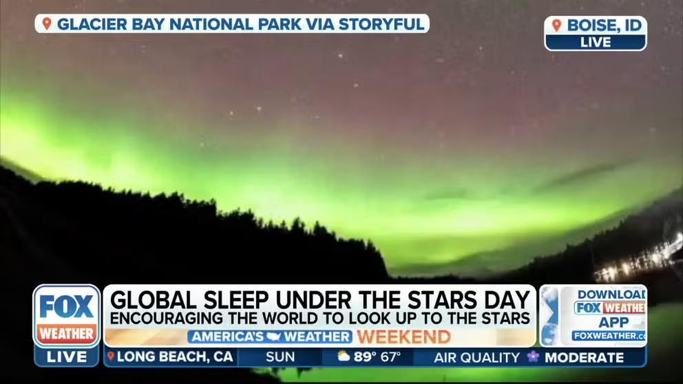
Find the best National Park to sleep under the stars!
Sleep under the stars Monday for Global Sleep Under the Stars Day. Linda Mazzou. former Superintendent of Bryce Canyon National Parks helped Bryce to achieve "dark sky' status and explains it to FOX Weather and tells us the best places to sleep under stars.
But if you’re worried that a "big one" will strike somewhere within the park, chances are it won’t happen.
"Earthquake sequences like these are common and account for roughly 50% of the total seismicity in the Yellowstone region," the University of Utah added.
The university said there had been 44 earthquakes of magnitude 3.0 or greater within 16 miles of the epicenter of the 3.7 earthquake since 1962.
YELLOWSTONE UNDERGOES CLOSURES TO PREPARE FOR SPRING TOURISM INFLUX

San Francisco 1906: The earthquake that shook up seismology
On April 18, 1906, San Francisco experienced a magnitude 7.9 earthquake. The quake and the fires it caused destroyed a large portion of the city by the bay.
The largest was a magnitude 3.9 on Dec. 27, 2008, reported just over 4 miles to the south-southeast of Fishing Bridge, Wyoming.
One earthquake of magnitude 4.5 or greater has occurred within 32 miles of the epicenter of this current earthquake sequence since 1962.
That was a magnitude 4.8 quake on March 30, 2014, about 3 miles north of Norris Junction, Wyoming.