NOAA launches first of its kind drone in Hurricane Ian to research areas unsafe for Hurricane Hunters
Drones are changing the research game keeping the scientists and those in the path of a hurricane safer. They can fly in the lowest levels of the storm.
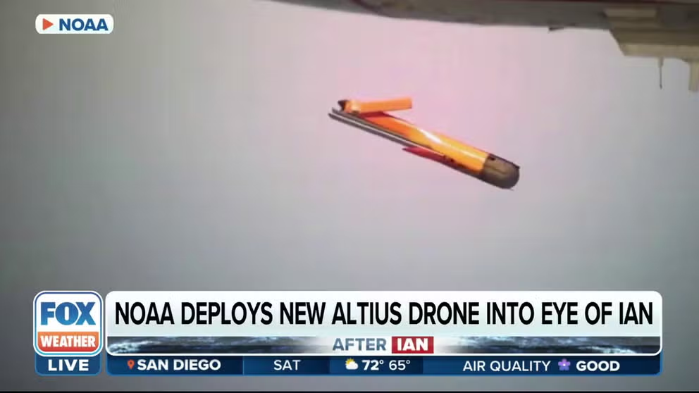
NOAA deploys new Altius drone into eye of Ian
On Wednesday, the National Oceanographic and Atmospheric Administration researchers flew a drone into Hurricane Ian to collect weather measurements in a part of the storm too dangerous for Hurricane Hunters. Called an Area-I Altius-600 uncrewed aircraft system (UAS), the drone was the first of its kind to be deployed into a hurricane by NOAA.
Drones do the hard work, learning the secrets that hurricanes hide within their two-story waves and 130-mph winds.
On Wednesday, the National Oceanographic and Atmospheric Administration researchers flew a drone into Hurricane Ian to collect weather measurements in a part of the storm too dangerous for Hurricane Hunters.
Called an Area-I Altius-600 uncrewed aircraft system (UAS), the drone was the first of its kind to be deployed into a hurricane by NOAA. The 27-pound UAS was released into Hurricane Ian from a NOAA WP-3D Hurricane Hunter aircraft (N42RF, "Kermit") on Sept. 28.
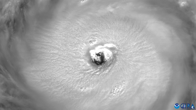
A look at Hurricane Ian's eye wall as the storm approaches Florida.
(NOAA / FOX Weather)
The UAS dropped to 3,000 feet within the eye of Hurricane Ian to collect readings about the temperature, pressure and moisture. According to NOAA, the crew then directed the UAS into the eyewall, where the UAS completed a series of circumnavigations at different altitudes.
At an altitude of less than 2300 feet, the UAS recorded winds over 216 mph.
What information can drones collect?
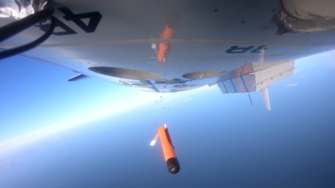
NOAA tests out Altius the unmanned Aerial System (UAS) or drone to study hurricane formation.
(Area 1 / FOX Weather)
Most of us know about the Hurricane Hunters, pilots and meteorologists that fly through the eye of a hurricane, but there is still data missing. Researchers want more data, closer to the ground where it is too dangerous to fly – but safe enough for a drone.
While the National Oceanic and Atmospheric Administration Hurricane Hunters and the Air Force Reserve’s 53rd Weather Reconnaissance Squadron fly high above the ground through the eye wall, they release their ‘boots on the ground’ small unmanned drones into the tempest.
"Due to, obviously, the kind of violent, dynamic nature of a hurricane, taking a crewed aircraft down to that first 3000 feet can be a little bit hazardous," NOAA Corps Lead Test Pilot Adam Aritbol told FOX Weather in an interview. "So we've designed these drones to kind of go do that work for us."
Why is low-level data so important?
NOAA looks to drones for new hurricane data
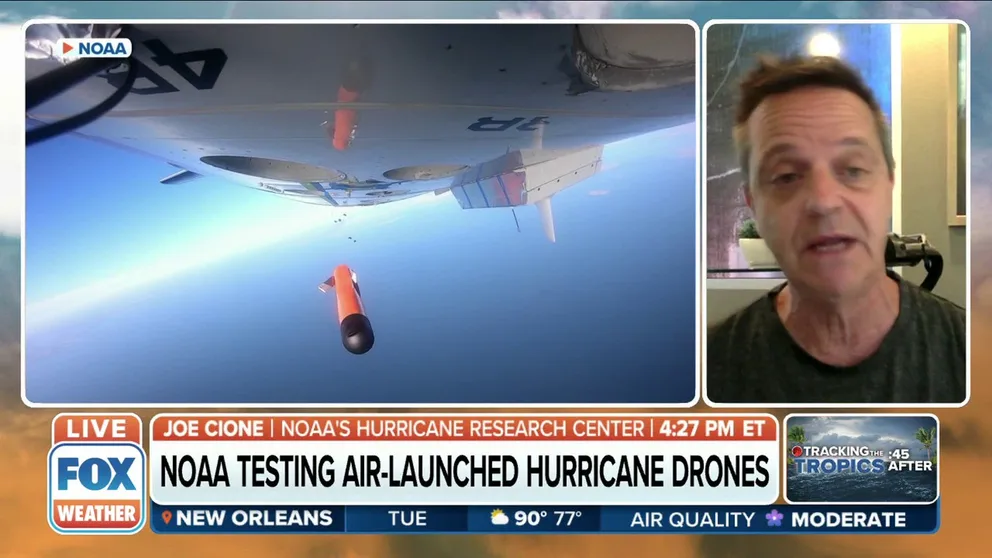
Lead Meteorologist at NOAA’s Hurricane Research Center Joe Cione on implementing new drone technology to analyze the lowest parts of storms that Hurricane Hunters are unable to get to.
NOAA’s Lead Meteorologist for their Hurricane Research Division, Joe Cione, explained to FOX Weather that scientists need to know more about the part of the storm that impacts people and where they live.
"When these dangerous storms make landfall, that's where we are, with buildings, structures, everything. So we really want to know what's going on down low," said Cione. "We have hurricane hunters, but those platforms can't really fly very low due to safety concerns. So we've employed this technology with drones to sample the lowest Florida storms where we all live and also where the storm gets its energy from."
Cione, the lead scientist for small UAS (sUAS) research and operations, was part of the crew who deployed the UAS into Hurricane Ian on Wednesday. He was joined by hurricane researchers Jun Zhang and Josh Wadler on that successful launch inside the storm.
Air drone deployed for hurricane research
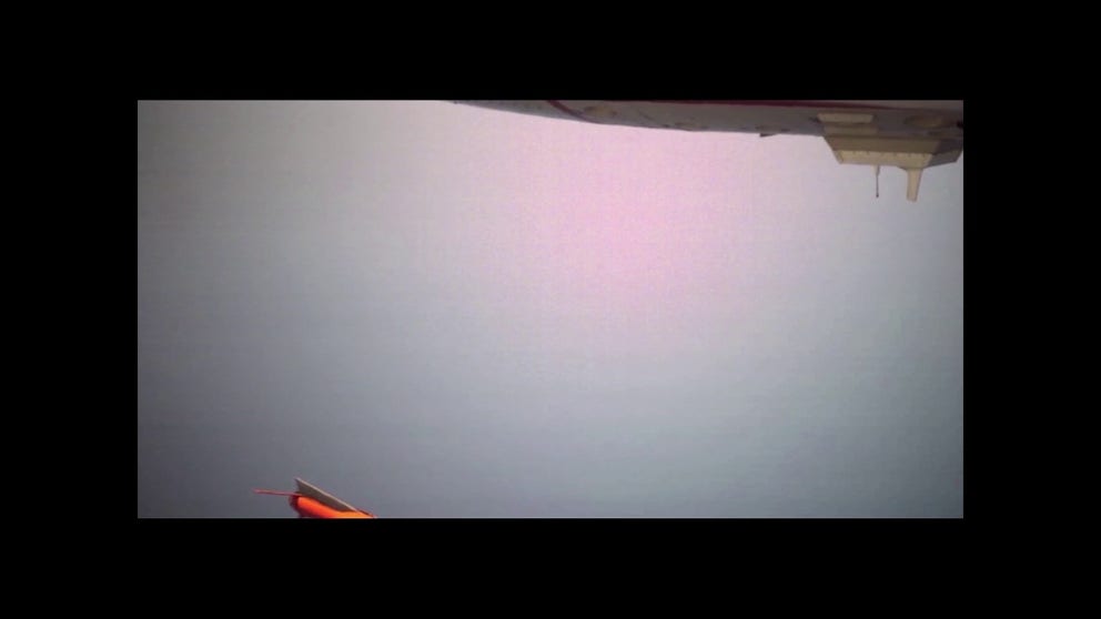
NOAA took video took this slow motion video of a drone falling from a Hurricane Hunter plane, ready to take data samples in the lowest half mile of a tropical storm off Florida.
The crew releases drones above 3,000 feet where it is safe to fly a plane. The drones spiral down to areas of high winds closer to the surface and take samples for 2 to 3 hours. The drone sends the data back to the plane.
Researchers use readings and videos to learn exactly what happens scientifically. The new data and understanding, NOAA hopes, will improve models which forecast storms. Those models and forecasts will also help emergency managers make more informed decisions about evacuations.
"We believe that over time we're going to be able to represent stronger winds, which helps us and helps the forecasters say, ‘Wow, okay, we thought it was 100 miles an hour, but that drone captured 120,’" said Cione. "Meaning maybe we weren't going evacuate, but now we will."
Proof that drone data makes a difference
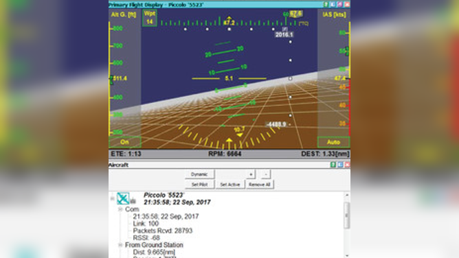
A screen capture from the Coyote (drone) operator’s software; the Coyote drone has an onboard autopilot, but the operator provides "waypoints" to fly toward.
(NOAA / FOX Weather)
Cione and his colleagues used drones to take data during the deadly Hurricane Maria in 2017. They found that the only way computer models and experiments correctly forecast Hurricane Maria's complex structure was by including drone data. The group published results in a 2022 study.
"Findings from this study illustrate the significant impact difficult-to-obtain, near-surface observations can have on improving the accuracy of tropical cyclone structure and intensity," wrote the authors of the research study.
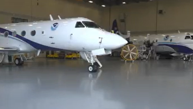
Two of NOAA's Hurricane Hunter aircrafts.
(FOX Weather)
Cione put it more simply for FOX Weather.
"We want to get more situational awareness. And that's a fancy parlance for basically knowing what's going on," said Cione. "So, we can really give the forecasters what's going on right at that time. They can make more informed decisions with evacuation or not evacuation decisions."
NHC's Tropical Cyclone Report analyzed Maria and noted that models poorly forecasted the genesis of the Hurricane until just before it formed, which delayed warnings.
NOAA using drones to research areas unsafe for Hurricane Hunters
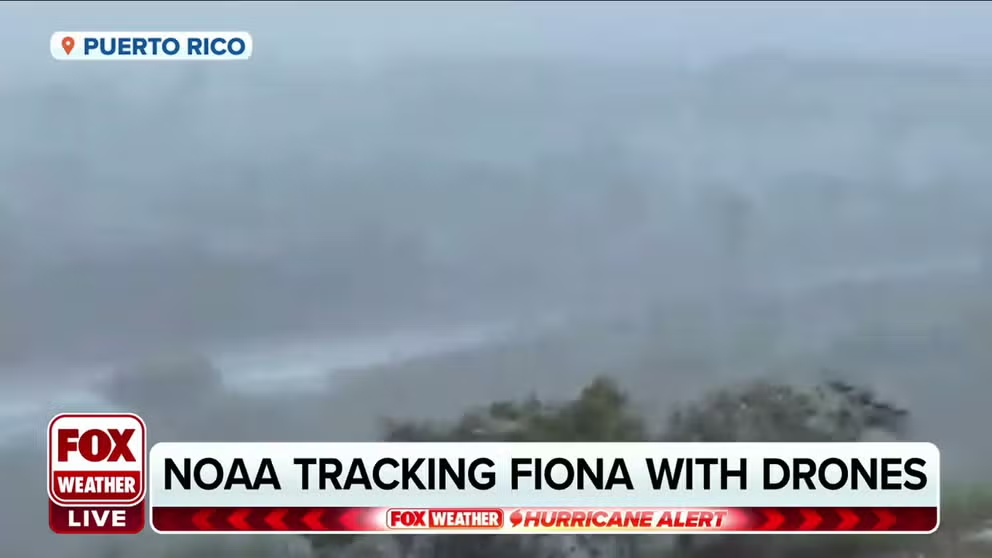
NOAA is using drones to study the lowest layers of Hurricane Fiona, a place unsafe for Hurricane Hunters. FOX News' Caroline Elliott gives us a closer look.
"One issue of note regarding intensity forecasts for Maria was how poorly the rapid intensification episode of 18 September Hurricane Maria 9 was anticipated," continued the report.
In a recent report, FOX News' Caroline Elliot explained that forecasting rapid intensification is a major point the NOAA drone researcher wants to improve upon.
"The long-term goal is tackling one of the biggest challenges in hurricanes. Predicting what scientists call rapid intensification," reported Elliott. "Rapid intensification is when the wind speed increases by at least 35 mph in less than 24 hours.
Saildrones collect even more surface data
Hurricane saildrone release in Gulf of Mexico
Two saildrones have been launched into the Gulf of Mexico to monitor hurricanes. (NOAA)
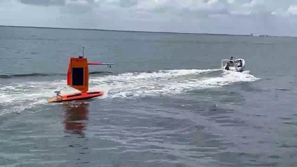
NOAA also partnered with Saildrone to send unmanned boats into hurricanes and take readings. It’s easy to see why humans can't take these measurements.
A saildrone caught 50-foot waves churned by Hurricane Fiona recently.
DRONE VIDEO SHOWS 50-FOOT WAVES AND DESTRUCTIVE WINDS IN THE HEART OF HURRICANE FIONA
