Watch: Go inside Milton's chaos with front-row seat aside Hurricane Hunters
Equipped with nose radar, belly-mounted multimode radar and tail Doppler radar, these aircraft provide Hurricane Hunters with the tools they need to safely navigate through storms like Milton.

Get a front row seat into the turbulent eye of Hurricane Milton
NOAA's Hurricane Hunters had a very bumpy ride piercing the eyewall of Category 5 Hurricane Milton.
GULF OF MEXICO – Hurricane Hunters are allowing you to feel the adrenaline as their aircraft plunge into the chaotic heart of Hurricane Milton, providing a firsthand glimpse of the storm's raw power.
As one of the strongest hurricanes in over 170 years of Atlantic recordkeeping, Milton is taking dead aim at the west coast of Florida. Barring any unforeseen disruptions from the storm, it will likely be one of the worst hurricane disasters in U.S. history.
Watch: Fly straight into raging Milton alongside NOAA's Hurricane Hunters
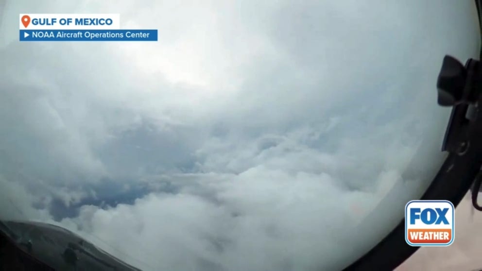
Go inside the flight station aboard NOAA’s WP-3D Orion 'Miss Piggy' as they fly straight into Hurricane Milton in the Gulf of Mexico.
On Monday, NOAA's Aircraft Operations Center released breathtaking footage that captures the intensity of their pilots' and scientists' missions to the Gulf of Mexico on Monday.
Equipped with nose radar, belly-mounted multimode radar and tail Doppler radar, these aircraft provide Hurricane Hunters with the tools they need to safely navigate through storms like Milton.
Sofia de Solo, a flight director at NOAA's Aircraft Operations Center, provided a pre-flight brief for their Gulfstream IV-SP "Gonzo" mission after Milton rapidly intensified to a Category 5 hurricane on Monday.
Milton is a particularly dangerous storm due to its small size and rapid intensification, de Solo said. This causes the storm to evacuate air at a high rate, affecting even their flight altitude of 45,000 feet.
"You can see that in the wave action propagating away from the eye," she adds.
HOW ‘KERMIT’, ‘MISS PIGGY’ AND ‘GONZO’ HUNT DOWN HURRICANES
See it: Radar view vs. window view of Hurricane Milton
One of the planes used by NOAA’s Hurricane Hunters is the Lockheed WP-3d Orion "Miss Piggy" – a four-engine turboprop that is used to punch through the eye of a hurricane.
It is packed with instruments and technology to measure wind speed and direction, barometric pressure, temperature and humidity.
INSIDE THE 'FLYING LABORATORY' USED BY NOAA'S HURRICANE HUNTERS

See it: Radar view vs. window view of Hurricane Milton
NOAA's WP-3D Orions are equipped with nose radar, multi-mode radar on the belly and tail Doppler radar. Together, they help Hurricane Hunters safely navigate through the storm while completing mission objectives.
Catastrophic storm surge, destructive hurricane-force winds and flooding rain are all expected across Florida in the coming days.
The FOX Forecast Center said Milton will grow in size as it heads toward the state's west coast as a disastrous hurricane.
Milton is expected to weaken slightly but will still be a major Category 3 hurricane at landfall with destructive damage expected on Wednesday. Power outages will likely last for days, if not weeks.