How 'ring of fire' weather pattern is fueling historic heat wave in Texas, severe weather in Midwest
Named after the storms it "fires" off along its northern periphery, the ring-of-fire weather pattern is an atmospheric blocking pattern usually associated with extreme heat.
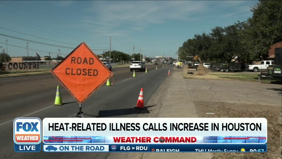
Death toll in Texas rises to at least 11 as dangerous heat wave drags on
At least 11 people have died of heat-related illnesses in Texas as a dangerous heat wave continues to bake the Lone Star state for ore than two weeks.
A historic heat wave has been smothering Texas and parts of the South for more than two weeks, largely because of a weather pattern known as the "ring of fire."
Unlike its geologic counterpart in the Pacific, the ring-of-fire weather pattern is an atmospheric blocking pattern usually associated with extreme heat.
Basically, it is a large area of high pressure in the atmosphere that refuses to move, allowing warmer-than-average temperatures in the region it sits over to last for an extended period of time.
The reason for this involves the way the ring-of-fire weather pattern forms in the first place.

High temperatures and humidity open pores and makes skin more prone to irritants.
(Kevin Dietsch / Getty Images)
According to the FOX Forecast Center, it forms when an area of high pressure is cut off and detached from the jet stream to the north. The jet stream or a powerful cold front would usually keep the high-pressure system moving along, but once detached from the jet stream, the area of high pressure becomes stagnant and can sit over the same region for weeks.
In addition to locking the warmer-than-average temperatures in place, the ring-of-fire weather pattern also produces repetitive showers and thunderstorms along the periphery of the high-pressure system.
Along this periphery, the FOX Forecast Center said the air is more unstable, which allows storms to "fire" off. This is why the weather pattern is called the ring of fire.
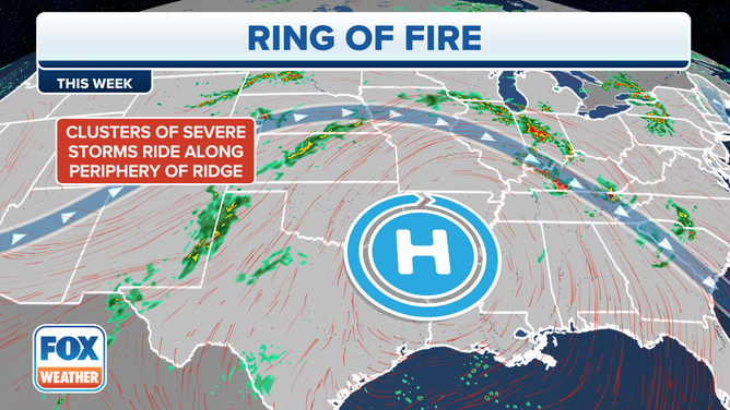
A depiction of the ring-of-fire weather pattern over the central U.S. on June 29, 2023.
(FOX Weather)
As the area of high pressure rotates clockwise, so does the line of storms it produces. This can be seen in the rounds of storms that have been developing across portions of the Plains and Midwest – regions on the periphery of the high-pressure system – as they are steered by the clockwise winds around that high-pressure system.
Some other blocking patterns of note include the Omega block, which occurs when two low-pressure systems are cut off from the jet stream and sandwich a high-pressure system in between, and a Rex block, which involves a high-pressure system blocking any incoming storms that usually travel on westerly winds.