What is 'dirty rain' and how does it happen?
According to NOAA, the air surrounding the Saharan Air Layer has about 50% less moisture than the typical atmosphere. This means the presence of the dust can be detrimental to cloud formation and thunderstorm activity.
New study finds rainwater unsafe to drink everywhere
Ian Cousins, Lead Author and Professor at the Department of Environmental Science at Stockholm University, talks about what was found in the study.
During encounters with Saharan dust, large wildfires, pollution or even dust storms, people might hear the term "dirty rain" being used to describe precipitation that can happen in and around them. According to National Weather Service meteorologists, there is more to the phenomenon than meets the eye.
So-called "dirty rain" happens when tiny particles are suspended in the air and get caught in raindrops as they fall to the surface. It is also sometimes called "muddy rain" or "red rain" if reddish dust gets caught in the raindrops.
After such an event, outdoor objects such as lawn furniture, sidewalks or cars can appear discolored.
The phenomenon is not widespread, and the precipitation event itself has a more significant impact than the population affected by the dirty rainfall.
For instance, if millions are under the threat of rainfall, only a fraction may receive precipitation that is tainted with dust that is visible to the naked eye.
Meteorologists with the NWS say you’ll never see the term used in one of its forecasts or even discussions because the impacts are so limited.

A black motor vehicle is soiled by muddy rain in Marseille. Brought by the Sirocco, dust from the Sahara caused an episode of air pollution in Provence. This yellow-orange dust combined with rain produced an ocher film, particularly staining the cars.
(Gerard Bottino/SOPA Images/LightRocket via Getty Images / Getty Images)
5 THINGS TO KNOW ABOUT THE SAHARAN DUST PLUME
The threat of dirty rain only happens a few times a year if all the ingredients align.
NWS meteorologists said that, in many cases, those who claim to see dirty rain may just be witnessing the effects of rain mixing with dirt that was already on surfaces.
NOAA pointed out that what is more noteworthy is that dusty air has about 50% less moisture than the typical atmosphere. This means the presence of the Saharan Air Layer can be detrimental to cloud formation and thunderstorm activity.
More than 180 million tons of dust leave the African continent each year, but only small amounts reach states in the Southeast U.S. and on the Gulf Coast.
Cyclones struggle to form in the dry air mass, which can cut down on tropical storm formation across large parts of the Atlantic Ocean.
Events such as wildfires, haboobs and plumes of Saharan dust have the capacity to deposit significantly more dust than a rainstorm containing embedded particles.
SKIES OF GREECE TURN EERIE RED AS AFRICAN DUST STORM MOVES THROUGH
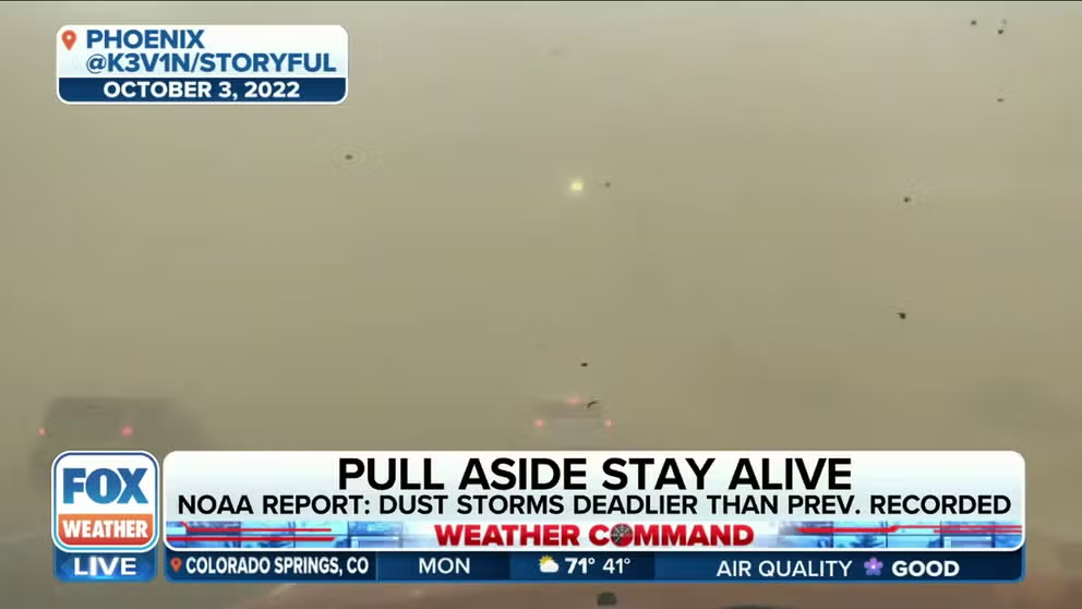
New report finds dust storms are more deadly than previously thought
Randy Cerveny, Professor of Geographical Sciences at Arizona State University, discusses a new NOAA report that finds dust storms are more deadly than previously thought.
Europe was the recipient of several plumes of SAL in the spring of 2024 that left outdoor objects covered in a layer of dust.
Major cities across the continent such as Rome, Paris, Athens and Kyiv all reported reduced visibilities and poor air quality as the plumes traveled northward from the African deserts.
Researchers from Spain have observed a sharp increase in Saharan dust intrusions compared to the early 2000s.
"Since 2020, we are monitoring increases on the temperature of the Mediterranean and a persistent drought in the Maghreb," Sara Basart, a scientist at the World Meteorological Organization, stated in a recent publication. "These surface conditions are contributing to the occurrence of these exceptional winter Saharan events towards Europe in the last years."