Dakota City, NE
See RadarCurrent Weather Forecast for Dakota City
NE 68731 | 6:30am
Weather Conditions
Today
Tonight
Tomorrow
Local Weather Radar - Dakota City, IA
Live Dakota City Local Radar Forecast by FOX Weather
Next 12 Hours Forecast in Dakota City
Hourly Weather Forecast & Temperature
Latest Stories from Nebraska

Dangerous severe weather threat builds from southern Plains to Upper Midwest during final week of April
A powerful spring storm system is poised to sweep across the heartland next week and produce severe weather from Tulsa and Oklahoma City, northward to Minneapolis and Duluth. The greatest risk area appears to focus on Iowa and nearby Kansas, Minnesota and Wisconsin, where an intensifying low-level jet could enhance the intensity and coverage of storms.
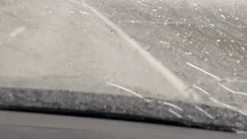
Woman's car left shattered after softball-sized hailstorm in Nebraska: 'Don't break my windshield, please!'
With severe weather season in full swing, thunderstorms continue to pound the Midwest with damaging winds and some substantial hail.

Denver area pummeled by Easter weekend snowstorm that's complicating holiday travel
A significant late-season snowstorm is bringing high winds and as much as 2-4 inches around parts of the Denver area, while 1-2 feet of snow are expected in the Rockies through Saturday.

Severe storms target Midwest, Plains over Easter weekend
Severe weather unleashed its fury across the central Plains on Thursday evening. Several storm chasers, including FOX Weather Storm Tracker Brandon Copic, captured video of a tornado forming and then rolling across the fields of Missouri Valley, Iowa.