Doylestown, WI
See RadarCurrent Weather Forecast for Doylestown
WI 53928 | 1:49am
Weather Conditions
61°
Feels Like
60°
Partly Cloudy
44°
78°
0
UV Index
Good
Air Quality
WSW
7 mph
Wind
0
in
rain
Tonight
Fri 3/28
54°
Lowest Temperature
15%
Overcast. A stray shower or thunderstorm is possible. Low 54F. Winds SW at 5 to 10 mph.
Tomorrow
Sat 3/29
56°
Highest Temperature
47%
Rain showers early with overcast skies later in the day. Thunder possible. Morning high of 56F with temps falling to near 40. Winds ENE at 10 to 15 mph. Chance of rain 50%.
Tomorrow night
Sat 3/29
36°
Lowest Temperature
76%
Rain showers in the evening will evolve into a more steady rain overnight. Thunder possible. Low 36F. Winds ENE at 10 to 15 mph. Chance of rain 80%.
Local Weather Radar - Doylestown, WI
Live Doylestown Local Radar Forecast by FOX Weather
Next 12 Hours Forecast in Doylestown
Hourly Weather Forecast & Temperature
2AM
15%
61°
Feels Like
60°
Mostly Cloudy
SW 7
mph
Wind
1006 mb
Pressure
62%
Humidity
0
UV Index
10mi
Visibility
62%
Cloud Cover
3AM
15%
58°
Feels Like
57°
4AM
15%
57°
Feels Like
57°
5AM
7%
57°
Feels Like
55°
6AM
8%
56°
Feels Like
55°
7AM
12%
55°
Feels Like
54°
8AM
20%
53°
Feels Like
53°
9AM
47%
50°
Feels Like
49°
10AM
47%
49°
Feels Like
45°
11AM
41%
47°
Feels Like
42°
12PM
44%
45°
Feels Like
40°
1PM
40%
44°
Feels Like
39°
Need to see beyond 12 Hours?
Find more forecast on the FREE FOX WEATHER App
Latest Stories from Wisconsin

What weather to expect for MLB teams playing on Opening Day
One of the big weather storylines of the season involves the Tampa Bay Rays – the team whose stadium was severely damaged by Hurricane Milton in 2024. Winds over 100 mph ripped the roof off the field.
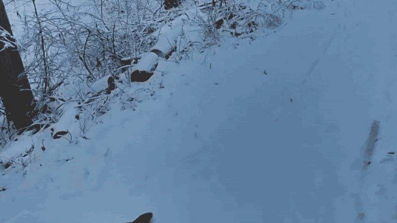
Watch: Pair of otters slide through Wisconsin snow after zoo escape during winter storm
A pair of North American river otters have apparently decided one Wisconsin zoo isn't cutting it for winter fun.

Over 40 bald eagles gather on frozen Wisconsin waters: 'Lake of America'
Residents in Wisconsin were able to observe an astonishing moment when dozens of bald eagles gathered on frozen waters.

Drone video: 3 deer in Wisconsin find themselves in rescue operation after falling through frozen lake
Three deer in Wisconsin found themselves in a rescue operation after plunging into freezing waters.