Green Lake, WI
See RadarCurrent Weather Forecast for Green Lake
WI 54941 | 12:26am
Weather Conditions
Tonight
Tomorrow
Tomorrow night
Local Weather Radar - Green Lake, WI
Live Green Lake Local Radar Forecast by FOX Weather
Next 12 Hours Forecast in Green Lake
Hourly Weather Forecast & Temperature
Latest Stories from Wisconsin

Ice storm brings power outages, slick travel from northern Great Lakes to interior Northeast
A destructive winter storm brought crippling ice accretions to communities across the northern U.S. from the Great Lakes region to the interior Northeast and northern New England over the weekend.

See it: Winter weather brings damaging ice storm to parts of northern US
Residents across the northern U.S. have experienced an ongoing winter storm that has brought destructive ice to numerous Great Lakes and Northeast communities.

What weather to expect for MLB teams playing on Opening Day
One of the big weather storylines of the season involves the Tampa Bay Rays – the team whose stadium was severely damaged by Hurricane Milton in 2024. Winds over 100 mph ripped the roof off the field.
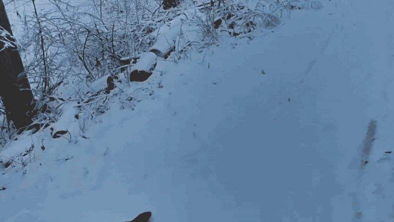
Watch: Pair of otters slide through Wisconsin snow after zoo escape during winter storm
A pair of North American river otters have apparently decided one Wisconsin zoo isn't cutting it for winter fun.