Arctic Alaska pummeled by rare severe storms creating a first for NWS
Some of the storms generated wind gusts of 50 mph and quarter-sized hail, prompting the NWS in Fairbanks to issue multiple Severe Thunderstorm Warnings across parts of the northwestern Arctic and North Slope boroughs early Thursday morning.
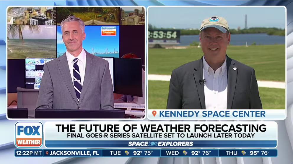
NWS director says NOAA's GOES-U satellite will continue 'evolution of technology'
National Weather Service Director Ken Graham talks to FOX Weather about the upcoming launch of NOAA's GOES-U weather satellite. Graham said the new compact chronograph on this satellite will improve space weather forecasting for solar storms sending back data from the Sun every hour.
FAIRBANKS, Alaska — A rare bout of severe thunderstorms in northern Alaska stretched across the Arctic Circle Thursday, creating a first for the National Weather Service.
An unusually unstable air mass has combined with very warm — or even hot — temperatures in northern Alaska to trigger uncommonly strong thunderstorms across the North Slope and Arctic boroughs.
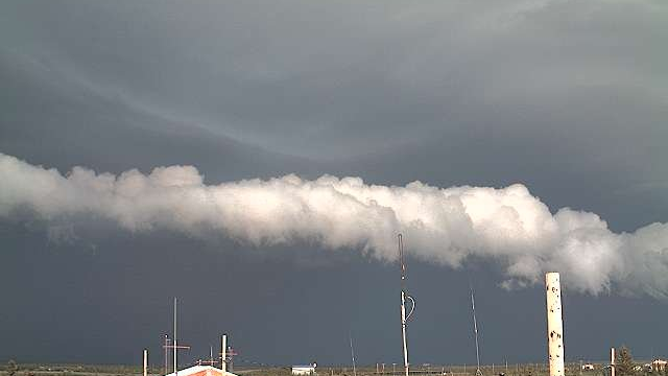
A strong thunderstorm approaches Noatak, Alaska on June 27, 2024.
(FAA / FOX Weather)
Some of the storms generated wind gusts of 50 mph and quarter-sized hail, prompting the NWS in Fairbanks to issue multiple Severe Thunderstorm Warnings across parts of the northwestern Arctic and North Slope boroughs early Thursday morning.
You have to figure anyone who received the warnings would be surprised — it turns out they are the northernmost — and westernmost — Severe Thunderstorm Warnings ever issued in the U.S. and its territories, according to Alaska climatologist Brian Brettschneider. The latest warning of the four issued Thursday reached 68.37 degrees North and 164.64 degrees West.

Satellite imagery shows severe thunderstorms moving across northwestern Alaska on June 27, 2024. The yellow boxes indicate Severe Thunderstorm Warnings.
(The U.S. territories of Guam, American Samoa and the Mariana Islands are in the Eastern Hemisphere and thus would technically be considered to the east.)
RARE TORNADO SPOTTED IN ALASKA'S CHUGACH STATE PARK MAY BE ONLY STATE'S 5TH ON RECORD
As you might expect, those areas are rather remote. The first warning covered the town of Noatak, home to roughly 600 people, but the subsequent warnings covered estimated populations of 10, 9, and 2, according to geographic databases.
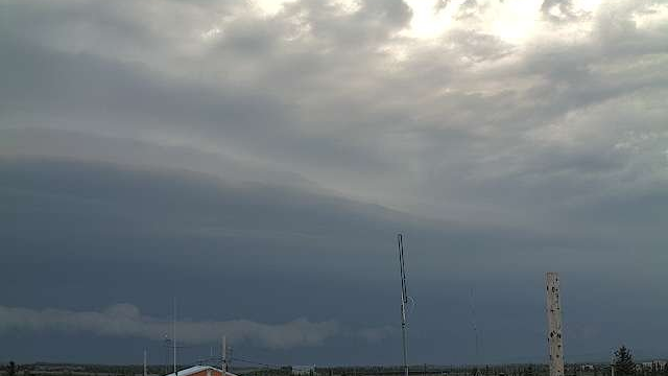
A strong thunderstorm approaches Noatak, Alaska on June 27, 2024.
(FAA / FOX Weather)
But the severe storms aren’t done yet, and additional warnings could yet set new records for northern reach. The NWS said strong thunderstorms will continue moving north into the Northern Slope on Thursday evening and will even cross the far northern town of Utqiagvik (formerly Barrow) on the northern Arctic coast overnight.
Before the storms arrived, temperatures were forecast to reach the 60s and 70s along the Arctic Coast and into the upper 80s inland.
A chance of thunderstorms returns again on Friday afternoon before the weather is expected to calm into the weekend.
How can the NWS track thunderstorms so far north?
As mentioned, these storms are occurring in rather remote locations. And with sparse population and rugged, mountainous terrain, Doppler Radar coverage is thin to non-existent. The NWS has a radar in Nome and Fairbanks, but that leaves the Arctic uncovered.
Instead, the NWS uses tools found on the newer generation GOES satellites for help. Each is equipped with a Geostationary Lightning Mapper.
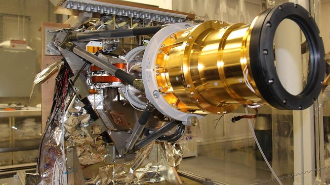
The Geostationary Lightning Mapper (GLM) Sensor Unit is shown prior to preparations for thermal vacuum testing. Each of the GOES-R instruments must go through testing in a vacuum chamber which simulates the extreme conditions that will be experienced in space. Passing this important test demonstrates that the instrument can withstand the anticipated thermal environment in the vacuum of space.
( Lockheed Martin Advanced Technology Corporation)
‘IT SAVES LIVES’: GEOSTATIONARY LIGHTNING MAPPER CRUCIAL FEATURE FOR GOES SERIES
GLM is a lightning mapper, and it detects momentary changes, indicating the presence of lightning with its near-infrared optical transient detector. It also measures total lighting activity continuously, including in-cloud, cloud-to-cloud and cloud-to-ground lightning.
While a Doppler Radar beam may not reach those severe storms, the watchful eyes of the GLM sensors can fill in the gaps, giving the NWS an important way to track lightning and the strength of their parent thunderstorms.