2025 Atlantic hurricane season brings elevated risk of major landfalls, experts predict
On Thursday, Colorado State University (CSU) released its initial extended-range forecast for the upcoming season, which will officially begin on June 1 and last through Nov. 30.
Colorado State University releases 2025 Atlantic hurricane season outlook
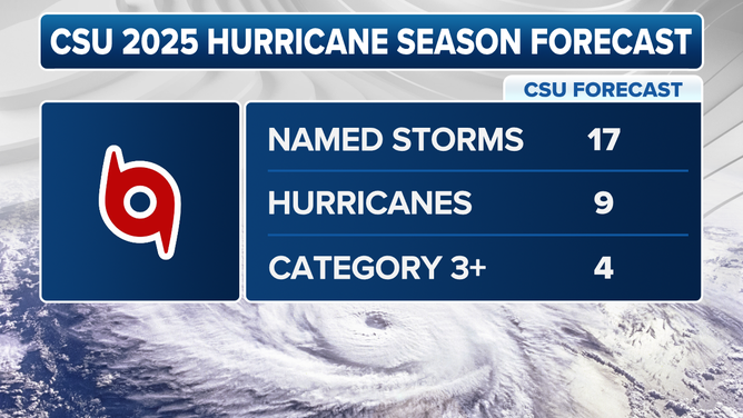
FOX Weather Hurricane Specialist Bryan Norcross discusses the first outlook issued for the 2025 Atlantic hurricane season, which was released Thursday morning by forecasters at Colorado State University. The CSU team is calling for 17 named storms, nine of which are expected to become hurricanes. Four of those hurricanes could reach major status, with winds of at least 111 mph (Category 3 or higher).
FORT COLLINS, Colo. – Leading hurricane researchers have a sobering outlook for the upcoming Atlantic hurricane season that could see the fury of storms exceeding typical levels.
On Thursday, Colorado State University (CSU) released its initial extended-range forecast for the upcoming season, which will officially begin on June 1 and last through Nov. 30.

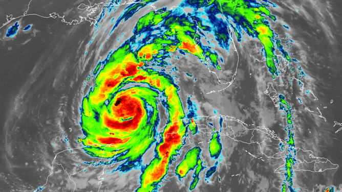
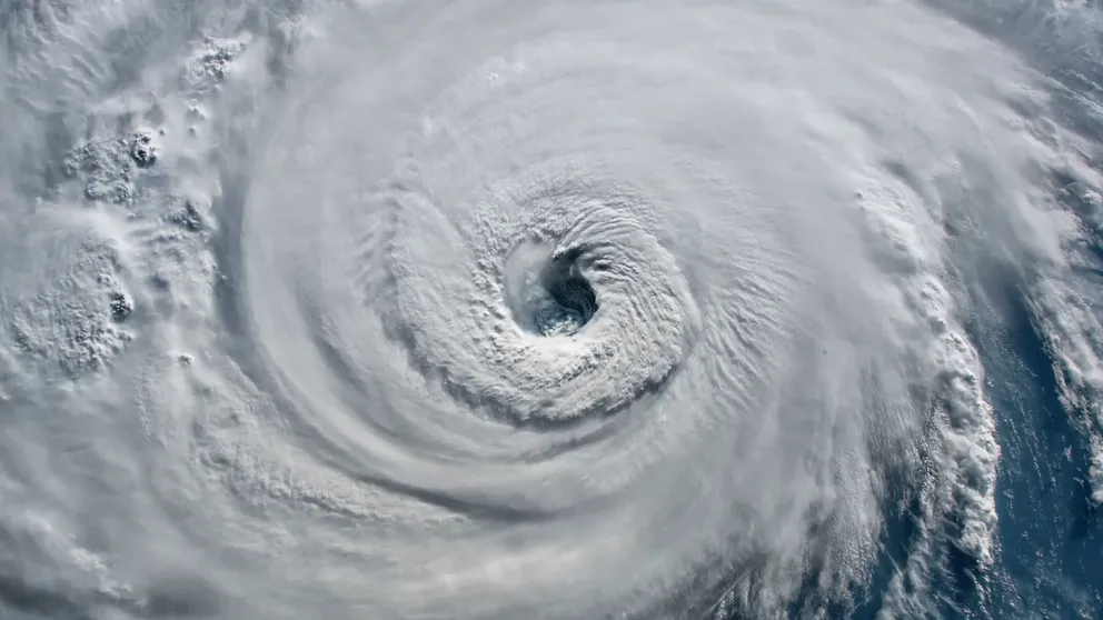
FILE – Hurricane Helene satellite image taken Sept. 26, 2024.
(NOAA)
The team is calling for 17 named storms, nine of which are expected to become hurricanes. Four of those hurricanes could reach major status, with winds of at least 111 mph (Category 3 or higher).
HOW TO PREPARE FOR HURRICANE SEASON

The 2025 Atlantic hurricane season outlook issued by Colorado State University on Thursday, April 3, 2025.
(FOX Weather)
"We anticipate an above-average probability for major hurricanes making landfall along the continental United States coastline and in the Caribbean," Phil Klotzbach, Ph.D., a senior research scientist at CSU, told FOX Weather.
HURRICANE CATEGORIES EXPLAINED: CATEGORY 1 | CATEGORY 2 | CATEGORY 3 | CATEGORY 4 | CATEGORY 5
Probabilities for at least one major (Category 3, 4 or 5) hurricane landfall
- Entire continental U.S. coastline – 51% (average is 43%)
- U.S. East Coast, including the Florida Peninsula (south and east of Cedar Key) – 26% (average is 21%)
- Gulf Coast from the Florida Panhandle (west and north of Cedar Key) westward to Brownsville – 33% (average is 27%)
Probability for at least one major (Category 3, 4 or 5) hurricane tracking through Caribbean
- 56% (average is 47%)
Forecasters noted that current La Niña conditions are likely to transition to ENSO-neutral conditions in the next couple of months; however, there remains considerable uncertainty as to what phase of ENSO will dominate this summer and fall.
Klotzbach noted that sea surface temperatures across the eastern and central Atlantic are generally warmer than normal, but not as warm as they were last year at this time.
7 FACTS TO KNOW ABOUT HURRICANES
How hurricanes get their names
How and why hurricanes get their names have evolved over the past century.
"A warmer-than-normal tropical Atlantic combined with likely ENSO neutral (or potential La Niña) conditions typically provides a more conducive dynamic and thermodynamic environment for hurricane formation and intensification," he added.
As with all hurricane seasons, coastal residents are reminded that it only takes one landfalling hurricane to make it an active season, Klotzbach noted.
"Thorough preparations should be made every season," he said, "regardless of predicted activity."

