Flash flooding possible for drought-stricken Plains as multiday severe weather continues
Damaging wind gusts are possible Thursday afternoon and evening over portions of the southern High Plains, according to the FOX Forecast Center.
Storms spark flash flood threat
Strong storms in areas of the Plains already touched off flash flooding. The stormy pattern continues through the week. FOX Weather's Steve Bender explains who is at risk of the flooding as well as hail and tornadoes.
It'll be a rinse-and-repeat kind of week as a weather-blocking pattern keeps the threat of showers and thunderstorms in the forecast each day from the northern Rockies through the Plains through the weekend.
This comes as this strong high-pressure system has been parked to the north of an upper-level low-pressure system, known as a Rex block. It is essentially cutting off the atmospheric flow from the jet stream that typically steers weather systems from west to east across the country. That means the weather pattern is essentially stuck, so there won't be much of a change in conditions this week.
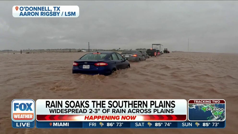
Parts of Texas had intense storms overhead Thursday. The video above shows cars trapped on a road in O'Donnell as water quickly piled up from Thursday. Ten inches of rain fell in just a few hours. Cars stalled out and started floating away.
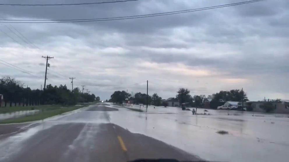
Officials closed roads and highways Thursday after Wednesday night rains flooded the area. The NWS issued a Flash Flood warning during the rains asking for residents to seek higher ground.
Floods closed Texas Panhandle roads
Officials closed roads and highways Thursday after Wednesday night rains flooded the area. The NWS issued a Flash Flood warning during the rains asking for residents to seek higher ground.
Severe weather threat expands in west Texas Friday
The severe weather threat remains over the same general area of west Texas into Friday, though the risk area expands north and south from Lubbock to cover the area from west Texas' borders with Mexico and Oklahoma.
Large hail is the greatest risk with severe thunderstorms, while damaging winds and even a few tornadoes can't be ruled out. There is an isolated area around Lubbock, Texas where the severe weather threat is a level 2 of 5 from NOAA's Storm Prediction Center.

(FOX Weather)
Drought-stricken Plains to receive much-needed soaking rain
The daily rounds of storms are good news for the central Plains, which currently has the worst drought conditions in the country. You can see the dry conditions shaded in the various shades of brown on the map below.

(FOX Weather)
This week's storms will potentially produce very heavy rainfall, providing the parched region with a much-needed soaking. Parts of the exceptional drought area in Kansas could see 2 to 3 inches of additional rain.
"The downside to this is, generally speaking, when you get too much rain in a short period of time and the ground is wet, that could potentially lead to some flooding," says FOX Weather meteorologist Jason Frazer.

(FOX Weather)
Portions of the Texas Panhandle could see 3 to 5 more inches of rain through the weekend.

