Hurricane Otis leaves behind 'nightmare scenario' after striking Acapulco, Mexico
Otis was the strongest hurricane to ever make landfall on the Pacific side of Mexico. It was also the first time an Eastern Pacific hurricane made landfall at Category 5 intensity.
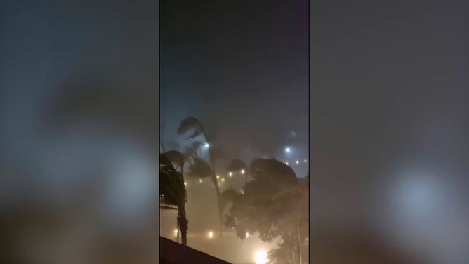
Listen to the wind howl as Otis tears through Acapulco, Mexico
Hurricane Otis made landfall near Acapulco, Mexico, as a Category 5 storm early on Wednesday, bringing maximum sustained winds of up to 165 mph. Listen to the winds as the powerful storm rock Mundo Imperial Hotel.
Hurricane Otis made a historic landfall near Acapulco, Mexico, at Category 5 intensity early Wednesday, packing destructive winds up to 165 mph after rapidly intensifying just hours before reaching the coast.
According to the National Hurricane Center (NHC), Otis made landfall some 5 miles south of Acapulco around 1:25 a.m. CDT Wednesday. Otis was the strongest hurricane to ever make landfall on the Pacific side of Mexico. It was also the first time an Eastern Pacific hurricane made landfall at Category 5 intensity.
The NHC said catastrophic damage was likely where the hurricane's core moved onshore.
OTIS TRACKER: LIVE INFORMATION, CURRENT WATCHES AND WARNINGS, FUTURE PATH AND MORE
"A nightmare scenario is unfolding for southern Mexico this evening with rapidly intensifying Otis approaching the coastline," the NHC warned in its forecast discussion Tuesday night after Otis intensified at an explosive rate. "… This is an extremely serious situation for the Acapulco metropolitan area with the core of the destructive hurricane likely to come near or over that large city early on Wednesday. There are no hurricanes on record even close to this intensity for this part of Mexico."
The extent of the damage is not known due to communications being down across the region.
Mexico's National Guard continues to try to clear roadways leading to coastal communities.
BRYAN NORCROSS: HURRICANES OTIS AND TAMMY BOTH SURPRISINGLY AND SUDDENLY INTENSIFY
Watch: Category 5 Hurricane Otis makes landfall in Acapulco, Mexico
Video shows a view from the Mundo Imperial Hotel in Acapulco as Otis made landfall early Wednesday morning.
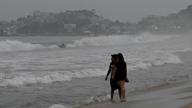
Residents in southern Mexico were warned to brace for a "potentially catastrophic" storm surge with "life-threatening" coastal flooding, huge waves, destructive winds and flooding rainfall.
"Hurricane Otis has intensified by 80 mph in the past 12 hours (from 65 mph to 145 mph)," Colorado State University hurricane specialist Phil Klotzbach wrote on X (formerly Twitter) Tuesday evening when the storm intensified to a Category 4 hurricane. That's the fastest 12-hour intensification rate in the eastern North Pacific (to 180°) in the satellite era (since 1966), breaking the old record of 75 mph/12 hours set by Patricia in 2015."
WHICH HURRICANES RAPIDLY INTENSIFIED BEFORE US LANDFALL?
'Catastrophic damage' expected as Hurricane Otis makes landfall in Acapulco
Footage recorded by X user David Hall shows palm trees swaying in strong wind and driving rain.
President Andres Manuel López Obrador held a news conference Wednesday and reported that communication within the state of Guerrero, where Acapulco is located, has been disrupted.
Despite the damage, no fatalities have been reported, but it remains early in search and rescue operations.
Acapulco, Mexico condo devastated by Hurricane Otis' winds
Hurricane Otis made a historic landfall near Acapulco, Mexico, at Category 5 intensity early Wednesday, packing destructive winds up to 165 mph.
At last check, the Federal Electricity Commission (CFE) said it had restored power to 40% of the 1.37 million electricity customers in Guerrero. During the height of the storm, more than 500,000 power outages were reported.
Due to the mountainous terrain, Otis quickly dissipated over southern Mexico, less than 24 hours after landfall.
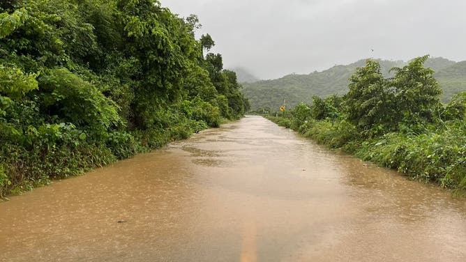
The storm's remnants are expected to produce additional rainfall totals between 4 and 6 inches through Thursday across Guerrero and the western coastal sections of Oaxaca. This rainfall will produce flash and urban flooding, along with mudslides in higher-terrain areas.

A comparison between the coast of Acapulco before and after Hurricane Otis, which caused power outages for hours.
(Webcams de México)


