'Generational flooding' possible from Arkansas to Indiana through weekend as central US battered by heavy rain
Flooding was underway Thursday in Nashville, Tennessee. "This isn’t routine," the National Weather Service in Memphis warned, noting that five-day total rainfall amounts are in the 10- to 15-inch range
Flash flooding in Mid-South to continue through Friday, the weekend
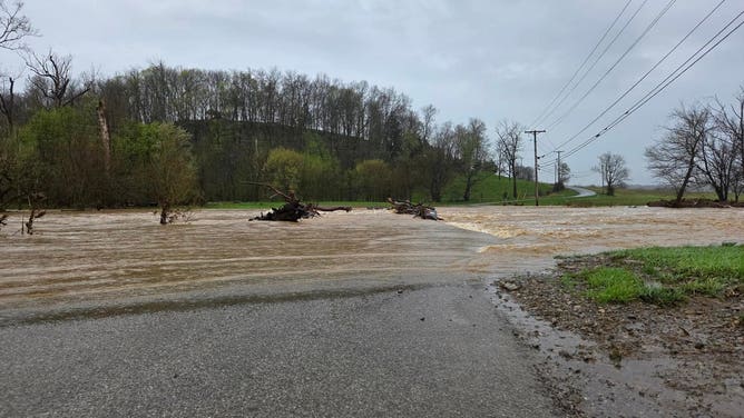
Heavy rain led to rivers, streams and creeks surging and flooding many areas in the Mississippi, Tennessee and Ohio River Valleys on Thursday, with more rain to come over the next few days.
Fast Facts:
- A stalled storm system is bringing widespread thunderstorms and heavy rain to the central U.S.
- Flash flooding was reported Thursday in Nashville. Significant flooding is expected in the Mississippi and Ohio valleys through Sunday.
- Repeated storms along a slow-moving front will cause a high flash flood risk, especially in western Tennessee, Kentucky and Arkansas.
- Rainfall totals could reach over 5-8 inches in some areas, with local amounts of more than a foot possible.
MEMPHIS, Tenn. – With the potential for once-in-a-lifetime rainfall and widespread impacts, "generational flooding" is possible across parts of the nation through Saturday, fueled by repeated rounds of storms that are already underway. The initial wave of storms was part of the same system that brought a deadly tornado outbreak Wednesday to parts of Arkansas, Missouri, Tennessee and Kentucky.
A stalled front is hanging over the central U.S. and bringing a series of widespread thunderstorms with drenching rain forecast to last through Sunday.

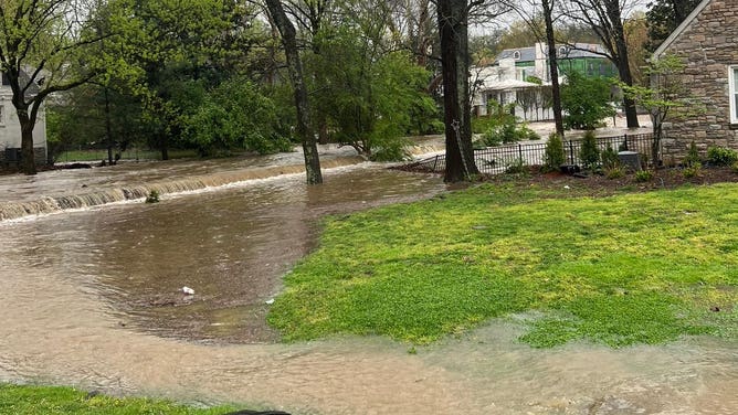
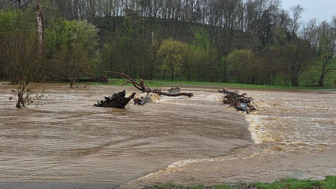
Flooding in Lebanon, TN, which is located east of Nashville.
(Lebanon Police Department / FOX Weather)
LIVE STORM TRACKER: SEVERE WEATHER MAPS, FLOODING FORECASTS, RADARS AND MORE
"This isn’t routine," the National Weather Service in Memphis, Tennessee, warned, noting that five-day total rainfall amounts are in the 10- to 15-inch range along and north of Interstate 40 in West Tennessee. "This is not your average flood risk. Generational flooding with devastating impacts is possible."
A "Particularly Dangerous Situation" Flood Watch is in effect through Sunday morning for portions of southern Illinois, southwestern Indiana, western Kentucky and southeastern Missouri.

(FOX Weather)
Governors in Tennessee, Kentucky and Arkansas have all declared states of emergency due to flooding and severe weather damage.
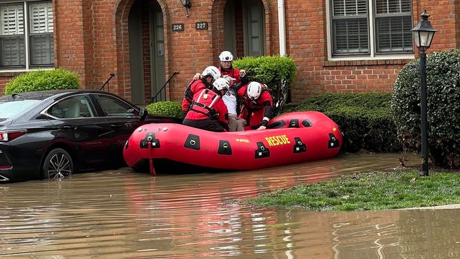
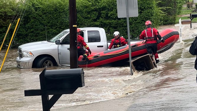
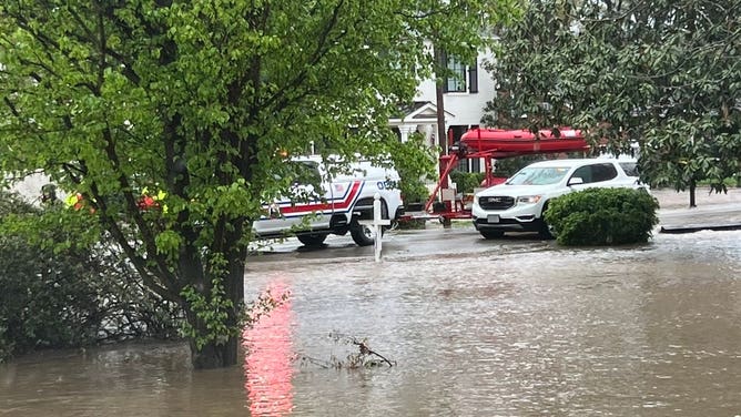
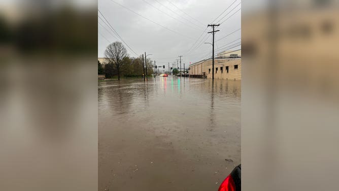
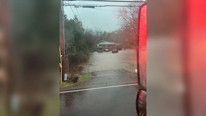
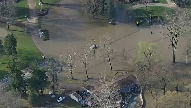
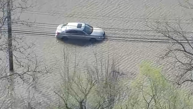
Flooding was underway Thursday morning in Nashville, Tennessee. Cars were seen stuck in floodwaters in South Nashville in the early-morning hours.
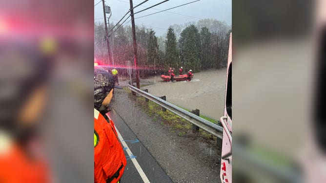
The Nashville Fire Department performed water rescues Thursday morning. Numerous roads in the metro area were closed due to flooding.
The forecast heavy rainfall in this event has a return interval of anywhere from 25 to 100 years.
"In other words, a heavy rainfall event of this magnitude falling within four days is an event that happens once in a generation to once in a lifetime," the NWS in Little Rock noted.
TORNADO OUTBREAK KILLS 7, INJURES DOZENS IN MISSISSIPPI VALLEY AS STATES OF EMERGENCY DECLARED
(FOX Weather)
NOAA's Weather Prediction Center (WPC) encouraged many to prepare if they live in a flood zone anywhere from Arkansas, northeast through the Ohio and Tennessee valleys.
"Anyone surrounding will want to monitor this setup closely as small changes could have heightened impacts given the forecasted setup," the WPC warned.

(FOX Weather)
The greatest concerns stretch from the Mississippi Valley into the Ohio and Tennessee valleys, where repeated rounds of storms will likely bring significant rainfall totals with local amounts up to a foot by the weekend, the FOX Forecast Center said.

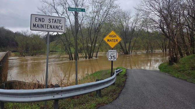
A road disappears under floodwater in Morgan County in eastern Kentucky.
(Morgan County Sheriff's Office / FOX Weather)
The highest level of flash flood risk has been issued for Friday in parts of western Kentucky, the Bootheel of Missouri, West Tennessee and eastern Arkansas.
DOWNLOAD THE FREE FOX WEATHER APP

(FOX Weather)
The FOX Forecast Center said concerns are that storms will move over the same area over and over, a process called "training." Computer forecast models have been indicating several-inch rainfall totals, especially across Arkansas into western Kentucky, where 24-hour totals in excess of 5-8 inches are possible in some spots. This is on top of several inches of rain that will have already fallen in previous days.
"This is an increasingly significant setup approaching with potential for high impacts and life-threatening flash flooding spanning the course of several days," the WPC said. "Be sure to prepare if you live in a flood zone anywhere from Arkansas, northeast through the Ohio/Tennessee valleys."

(FOX Weather)
The unsettled pattern will continue into Friday and Saturday, with heavy rain and severe storms potentially persisting. By the weekend, rainfall totals could approach or exceed a foot.
"Saturday is the day that concerns me the most right now," said Meteorologist Ryan Husted with the National Weather Service in Nashville. "Because we have time for our atmosphere to recharge, which means we have the potential for dangerous severe thunderstorms once again. In addition, our ground is saturated -- that means any rain that falls will run off and it’s going to cause flooding. I’m very confident in this that Saturday is a dangerous day for flash flooding going into Saturday night."
The National Weather Service in Paducah, Kentucky, where a state of emergency has been issued, said storm total rainfall now ranges from 8-12 inches over the Quad State, with the highest amounts straddling the Ohio River and the lowest amounts in the far northwest and the far southeast.
"If we get anywhere near these amounts, a historic flash flooding event is likely over a large portion of the Quad State," the agency warned. "Widespread river flooding will likely develop as well."

