Texas drenched by Gulf storm with severe weather, flooding
The action has already kicked off in Texas as more than 1.5 million south of Houston remain in a Severe Thunderstorm Watch until Thursday afternoon.
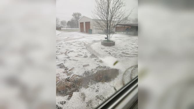
Hail pounds parts of Houston metro
Storms on Thursday produced widespread hail events across the Lone Star State. In some communities, ice covered the ground.
HOUSTON – The South and Southeast are in for an active stretch of weather this week as millions from Texas to Florida brace for widespread rain, severe thunderstorms and flash flooding from a potent storm developing in the Gulf of Mexico.

(FOX Weather)
The FOX Forecast Center says the active weather pattern is already firing up in the southern Plains on Thursday as a disturbance moves into the region.
As it does so, it's mixing with warm air from the Gulf of Mexico, triggering several thunderstorms across South Texas.
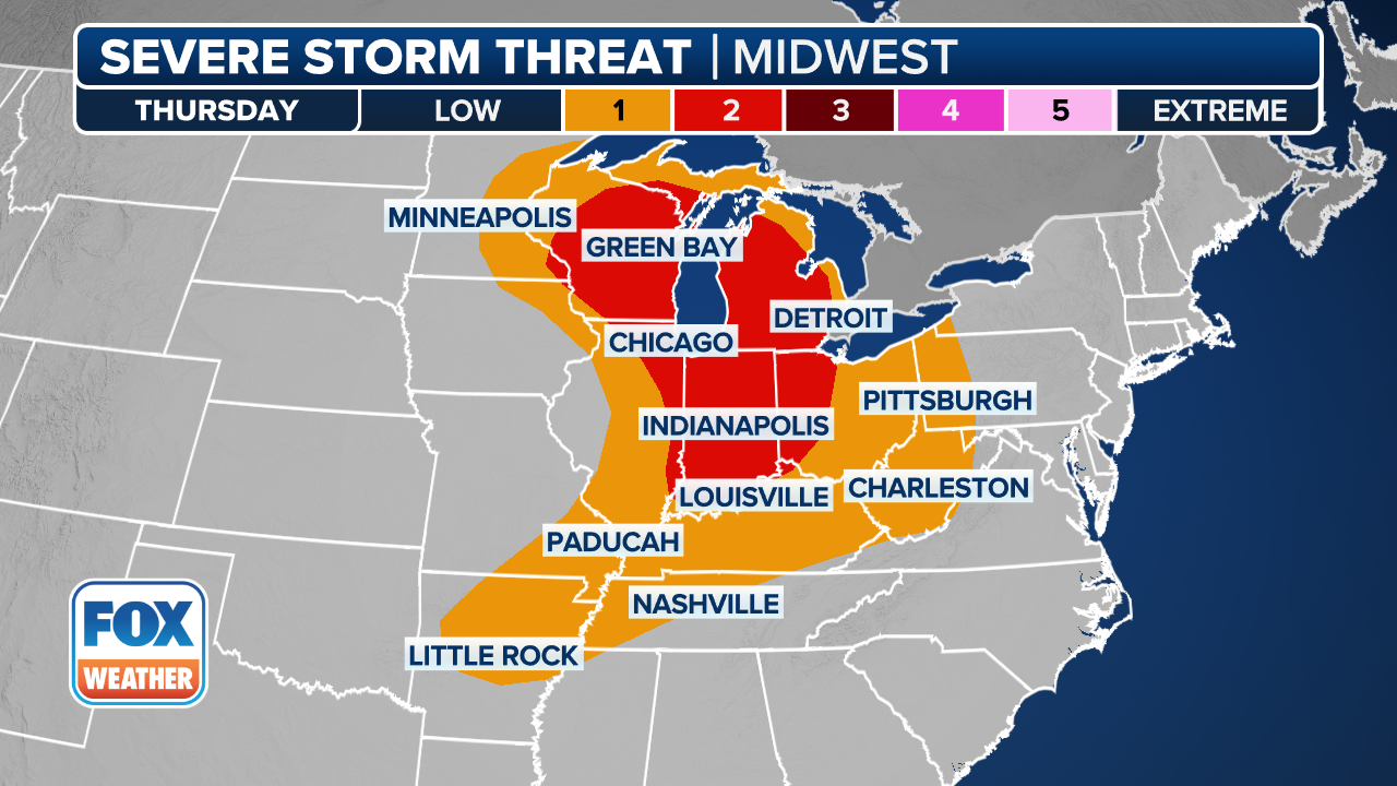
Some of those storms could turn severe along the Texas coast, with hail being the main threat from thunderstorms that develop during the day.
THE 5-POINT SEVERE THUNDERSTORM RISK CATEGORY SCALE EXPLAINED

(FOX Weather)
The severe weather threat continues through the day as wind shear will increase, and the disturbance moves across the region.
That increased shear may allow for the development of supercell thunderstorms across southeast Texas and southwest Louisiana.
HOW PUBLIC SAFETY OFFICIALS NOTIFY YOU DURING SEVERE WEATHER EMERGENCIES
Hail is again going to be the main threat, but some storms may be capable of producing damaging wind gusts over 60 mph.
Farther to the west, another area of thunderstorms will develop during the afternoon hours toward the Interstate 35 corridor and potentially impact cities like Dallas, Austin, San Antonio and Waco. Hail and high wind gusts are possible within those storms.
REAL OR FAKE? HOW TO SPOT WEATHER IMAGES GENERATED BY AI
Gulf storm eyes Florida with potential flash flooding
Stormy weather will head east on Friday across the Florida Peninsula as the disturbance pushes off the Texas coast Thursday night and emerges into the Gulf of Mexico, where it will strengthen into a potent storm.
This new area of low pressure in the Gulf and the aforementioned disturbance will work together to bring areas of heavy rain in two areas: South Florida, and Georgia into the Carolinas in the mid-Atlantic.
WHY IT RAINED WHEN YOUR WEATHER APP SAID THERE WAS ONLY A 20% CHANCE OF PRECIPITATION

(FOX Weather)
The FOX Forecast Center says moisture from the Gulf will be lifted above a warm front related to the area of low pressure and that will trigger numerous thunderstorms into Florida – especially southern Florida.
Torrential rain will accompany most of the thunderstorms that develop, with an added threat of damaging wind gusts and even some tornadoes.
EXPLAINING FLOOD ALERTS ISSUED BY NATIONAL WEATHER SERVICE

(FOX Weather)
Forecasts call for as much as 3-5 inches of rain around south Florida, which could lead to flash flooding in Miami and Fort Lauderdale.
To the north, thunderstorms will begin firing up Friday afternoon in Georgia and the Carolinas as additional moisture gets pulled in off the Atlantic Ocean.
HERE'S WHAT TO DO AFTER YOUR CAR IS FLOODED

(FOX Weather)
A few inches of rain could fall across those areas, and there is a low risk of flash flooding.
But no matter what, Friday is looking like a washout from Florida to the mid-Atlantic as the disturbance heads north along the Interstate 95 corridor on the East Coast, where it will eventually bring heavy rain and even snow to the Northeast and New England.


