Gulf Coast I-10 corridor in bull's-eye for flooding as tropical disturbance lingers off Texas coast
The National Weather Service's Weather Prediction Center highlighted communities stretching from south of Houston through southern Mississippi for the threat of additional flooding.

Tropical disturbance off Texas could flood parts of Gulf coast I-10 corridor
An area of low pressure has developed along the Texas coast. With water so warm, it wouldn't take much for the system to become a tropical depression, but the thing working against it is time, the FOX Forecast Center said.
NEW ORLEANS – The Gulf Coast along the Interstate 10 corridor is bracing for days of heavy rain and flash flooding as a tropical disturbance and stationary front team up to bring widespread storms to the region.
The National Hurricane Center (NHC) is monitoring this tropical disturbance for development along the Texas and Louisiana coasts. While the NHC only gives the system a low chance of developing, it's being identified as Invest 90L.
An "invest" is simply a naming convention used by the NHC to identify areas the agency is looking into for possible development.

(FOX Weather)
The FOX Forecast Center said the area of low pressure and front will keep the greatest focus for repeated rounds of storms moving onshore along the central Gulf Coast.
Very moist Gulf air continues to contribute to very heavy downpours with these storms, approaching 2-3 inches per hour in some cases, enhancing the threat of high rainfall totals and flash flooding.

(FOX Weather)
Prior days' rainfall has led to very wet soils and brought a locally higher threat of numerous instances of flash flooding, especially for the urban areas around greater New Orleans, the FOX Forecast Center said.
On Wednesday, flooding was reported from Jacksonville, Florida, along the I-10 corridor through the parishes of southern Louisiana and into southeastern Texas. More than 5 million people, including the New Orleans metro, were under Flood Watches.
The National Weather Service's Weather Prediction Center highlighted communities stretching from southern Louisiana through Georgia and Florida for the threat of additional flooding on Friday. A Level 3 out of 4 risk of flash flooding is centered over southeastern Louisiana, including the New Orleans metro area.

(FOX Weather)
Forecast models show an additional 5 to as much as 11 inches of rain that could fall through the start of next week as the conveyor belt for waves of moisture pile up in cities such as New Orleans. An influx of tropical moisture from as far away as the Caribbean has added insult to injury.
![New Orleans rain]() Image 1 of 5
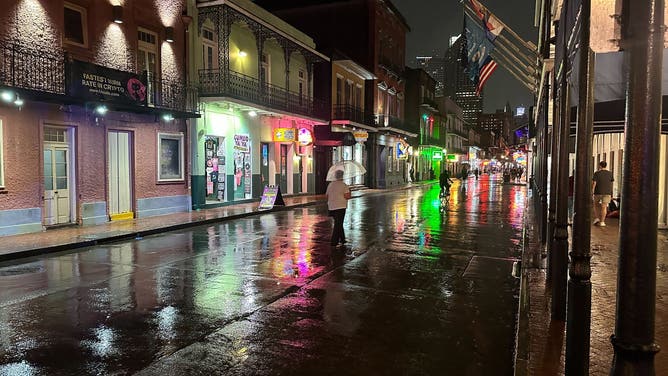
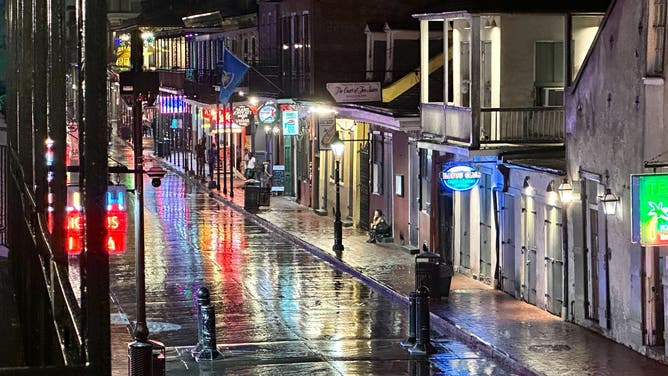
Image 1 of 5Steady rains fall in New Orleans on Sept. 4, 2024. (Robert Ray)
![New Orleans rain]() Image 2 of 5
Image 2 of 5Steady rains fall in New Orleans on Sept. 4, 2024. (Robert Ray)
![New Orleans rain]() Image 3 of 5
Image 3 of 5Steady rains fall in New Orleans on Sept. 4, 2024. (Robert Ray)
![New Orleans rain]() Image 4 of 5
Image 4 of 5Steady rains fall in New Orleans on Sept. 4, 2024. (Robert Ray)
![New Orleans rain]() Image 5 of 5
Image 5 of 5Steady rains fall in New Orleans on Sept. 4, 2024. (Robert Ray)


This year, New Orleans has been under 11 Flash Flood Warnings just between June and August.
At New Orleans International Airport, which technically is the official site for recordkeeping, 57.04 inches of rain has fallen so far this year, a respectable 8-plus inches above average. Meanwhile, just 10 miles to the east, downtown New Orleans has seen over 8 inches more rain than at the airport – more than 65 inches.

(FOX Weather)
Frequent flooding imposes a financial burden on residents and business owners, who must prepare for flooding during nearly every storm.