Dangerous storms march across central US as millions brace for tornadoes, damaging wind, hail, flash floods
This week's forecast is packing a punch, with different parts of the country bracing for a trifecta of weather hazards from severe thunderstorms, widespread flooding and near-blizzard conditions.
Severe weather continues Wednesday with millions under threat
More severe storms are expected Wednesday as a large swath of the central U.S. and America's heartland face the risk of life-threatening weather.
KANSAS CITY, Mo. – Thunderstorms erupted across the central U.S. on Tuesday night as a multiday severe weather threat that will likely bring tornadoes, damaging wind, hail and flash floods to America's heartland began.
The FOX Forecast Center said the storm system responsible for all the trouble is strengthening as it moves out of the western U.S., sending a cold front and warm front into the central Plains and Midwest. Severe thunderstorms are expected to continue through at least Thursday. The event is forecast to peak Wednesday when millions from Texas to Illinois face the likelihood of damaging storms that will pack a multitude of problems.

(FOX Weather)
Where severe weather is happening now
Weather alerts have been issued across the central U.S. as forecasters monitor storms that are developing. Here is a look at the latest radar, warnings and watches.

(FOX Weather)

(FOX Weather)
Multiday severe weather threat peaks Wednesday, lingers into Thursday
A significant severe weather threat is anticipated Wednesday, stretching from Lower Michigan and the Ohio Valley southwestward through the mid-South and southern Plains, the FOX Forecast Center said.
Storms are likely to be ongoing or developing early in the day from Wisconsin to Oklahoma and Texas. As a strong storm system moves across the northern Plains and a cold front pushes eastward, warm, humid air will create a favorable environment for severe thunderstorms.
The SPC upgraded Wednesday's severe weather threat to a Level 4 out of 5 risk zone to include over 4.4 million people in major Tennessee cities such as Memphis, Clarksville and Jackson, as well as Evansville, Indiana, and Jonesboro, Arkansas.
DOWNLOAD THE FREE FOX WEATHER APP

(FOX Weather)
This setup may favor isolated supercell thunderstorms, increasing the potential for very large hail, especially farther south, as well as widespread damaging winds and a significant risk of tornadoes, some of which could be EF-2 or stronger, the FOX Forecast Center said.
Storms will continue through the evening and overnight, moving eastward across the Midwest and lower Mississippi Valley.
On Thursday, the cold front will slow and stall from the Mississippi and Ohio valleys into the southern Plains. Even as the main storm system moves into Canada, daytime heating and high humidity will fuel another round of severe storms, with damaging winds, large hail and tornadoes possible, the FOX Forecast Center noted.

(FOX Weather)
Rainfall totals could approach a foot across parts of Tennessee, Kentucky
The FOX Forecast Center is also monitoring a growing threat of extensive flash flooding in the Mississippi and Ohio valleys this week, coinciding with the severe weather.
Repeated storms moving over the same areas – known as training – are expected, with computer forecast models indicating 24-hour totals exceeding 5-8 inches in some spots, particularly from Arkansas into western Kentucky, on top of previous days' rainfall.

(FOX Weather)
While 3-5 inches of rain could fall from Wednesday into Thursday, prompting early flash flood alerts from northeastern Texas to Ohio, the FOX Forecast Center warned that the primary period of concern will linger into the weekend. By the end of the week, rainfall totals could approach a foot, creating a potentially dangerous situation given the region's already-saturated conditions.
A level 3 out of 4 flash flood risk is currently in place for Wednesday.

(FOX Weather)
By Thursday, the expected prolonged heavy rain will continue with a level 4 flash flood threat, the highest threat level, for parts of western Tennessee and Kentucky. The level 3 risk zone shifts slightly to the west on Friday before shifting east again by Saturday.

(FOX Weather)
The unsettled pattern continues through the weekend, with the potential for heavy rain and severe storms in parts of the Mississippi and Ohio valleys.
Winter weather threat returns to areas impacted by recent ice storm
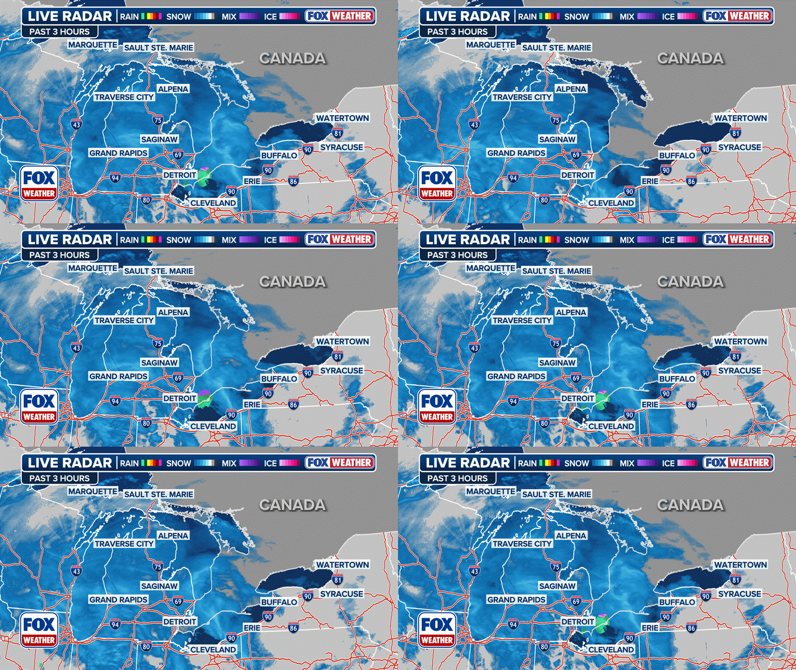
The FOX Forecast Center said there is a decent chance of seeing 4-plus inches of snow in parts of the Dakotas, northern Minnesota and the Upper Peninsula of Michigan through Wednesday.

(FOX Weather)
In addition, wind gusts are expected to range from 30-40 mph, which could create near-blizzard conditions with blowing snow, especially in areas with heavy snowfall.
The winter weather could impact the same region hit hard by a destructive winter storm that brought crippling ice accretions this past weekend.
