Heavy snow likely this week in West as winter eyes return
The forecast is increasingly cold and stormy across the West as the week progresses, with heavy snow likely in the Rockies and Cascades by Wednesday and the potential for flooding rain in California.
Western snow bonanza
The West is gearing up for heavy snow and very cold temperatures. The NWS already issued winter weather alerts for the area. Snow levels could be as low as 1,000 feet. The California coast is in for a soaking.
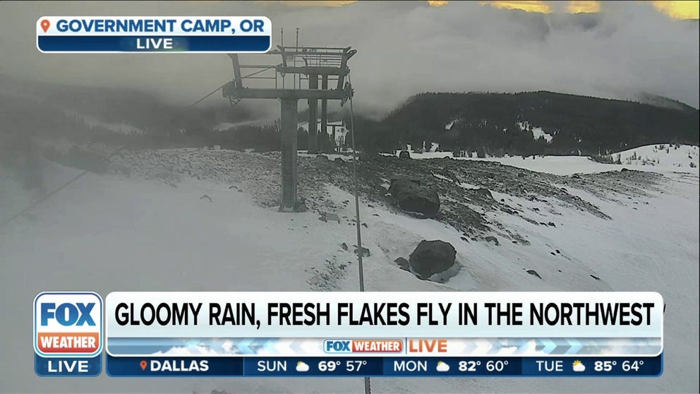
After a rather calm stretch of weather lately, winter is looking to make a comeback in the Pacific Northwest and northern Rockies early this week with a blast of arctic air and periods of heavy rain and snow.

(FOX Weather)
THESE ARE THE 7 SNOWIEST CITIES IN THE US
Soggy Presidents' Day in the Northwest
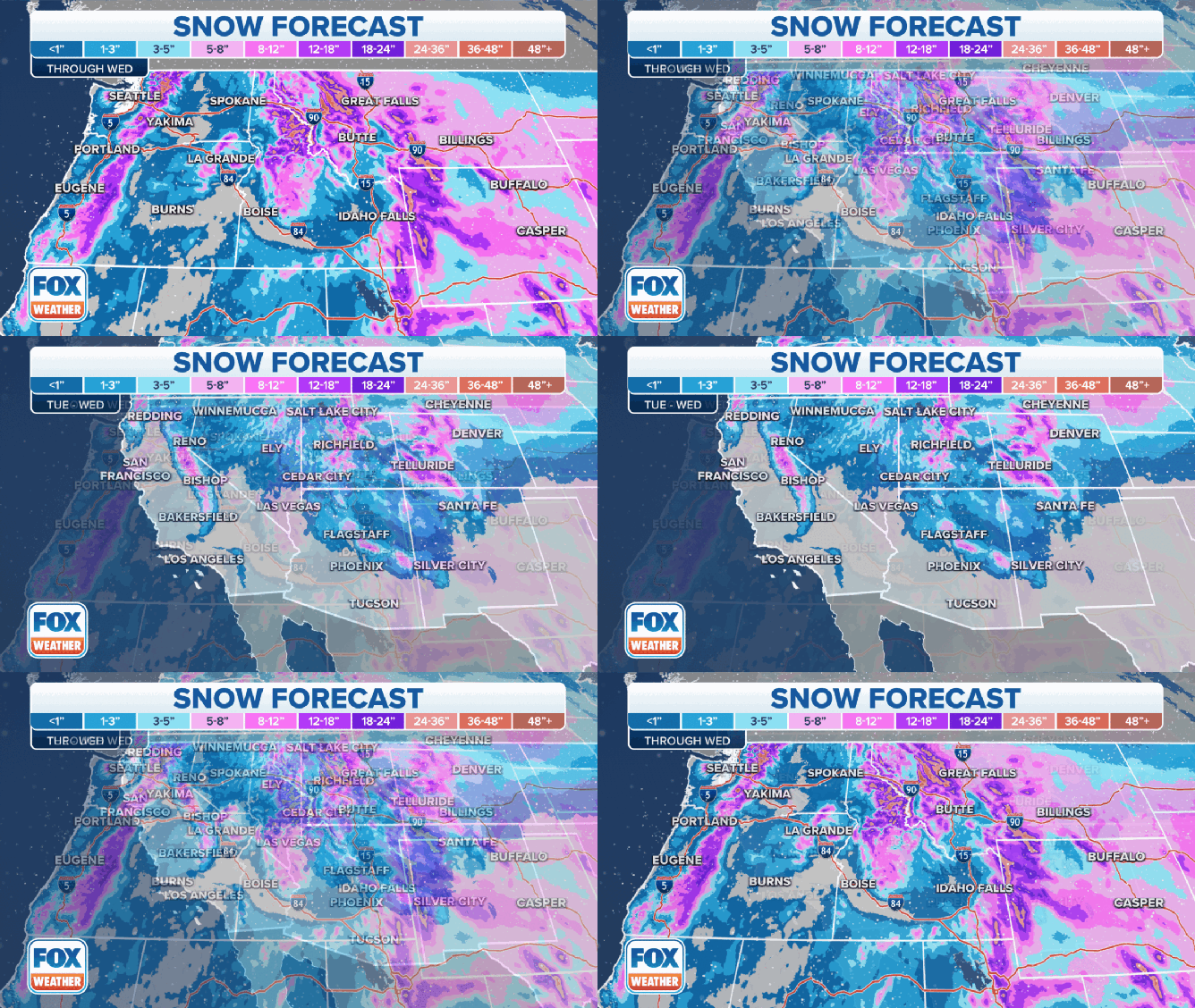
If you are not celebrating the President's Day holiday in Seattle and Portland, Oregon, You will have rainy commutes on Monday, while cross-mountain travel may be difficult in the Cascades due to heavy snow. Accumulations could reach over 8 inches in the Cascades and northern Rockies, with over a foot of snow possible on the highest peaks.
HOW TO DRIVE IN ICY CONDITIONS

(FOX Weather)
Snow levels drop across West as arctic air pours in
Snow levels drop on Tuesday as colder air filters into the Pacific Northwest and northern Rockies, with snow showers likely across eastern Washington, Oregon and much of Idaho and Montana.
Chilly rain showers are expected in the Interstate 5 corridor, but rain may switch over to snow showers by late Tuesday or Wednesday, even in the lowland areas of western Washington and Oregon.

(FOX Weather)
Heavy snow in Rockies; possible flooding in California
Cold air spreads across the entire West by Wednesday, and widespread snow and rain can be expected from the West Coast to the Rockies, making for difficult to dangerous travel for nearly the entire region.

The snow forecast through Wednesday in the West.
Over 12 inches of snow is likely in the higher elevations, while there will be a risk of flooding again in California due to heavy rain from mid- to late next week.

(FOX Weather)
The San Francisco Bay Area could see an inch of rain late next week with wind gusts to 40 mph.
