Rare January disturbance in Atlantic dissipates after moving into Canada
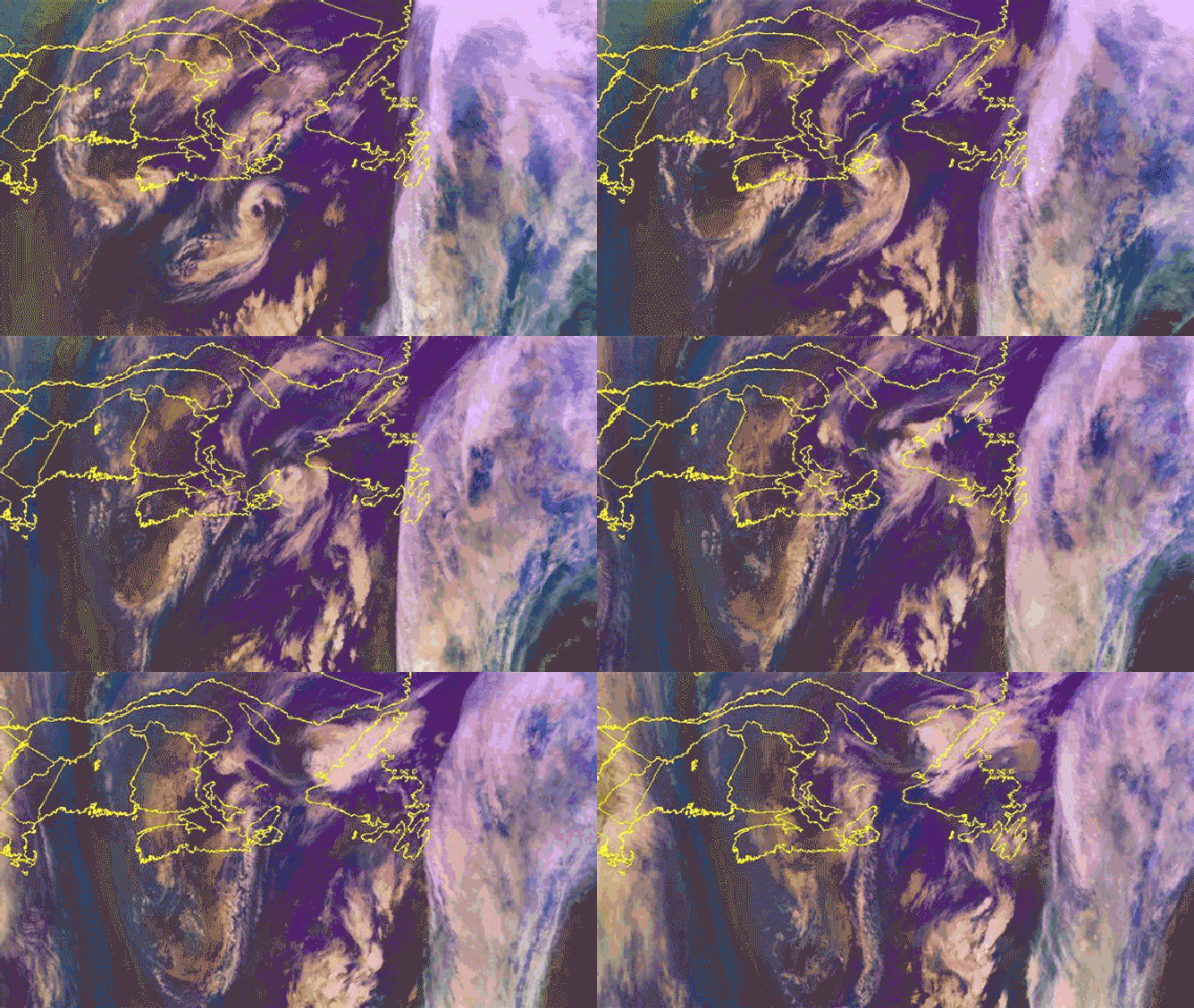
The system moved over the eastern tip of Nova Scotia before dissipating over the western shores of Newfoundland.
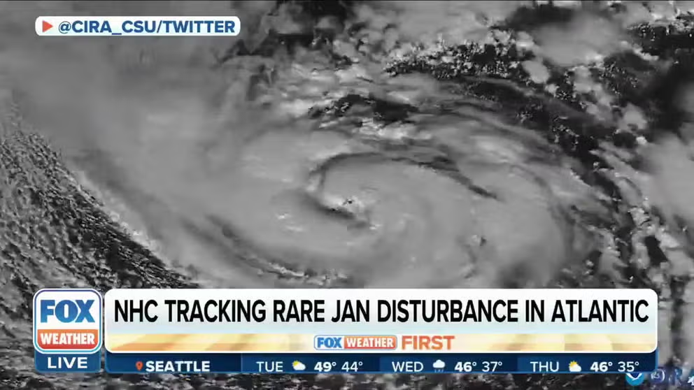
NHC tracking rare January disturbance in Atlantic
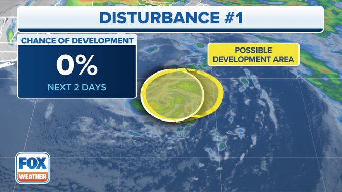
The National Hurricane Center says the rare January disturbance is unlikely to develop.
A system moving through the Atlantic Ocean that got the attention of forecasters Monday is no more after moving into Canada on Tuesday.
According to the National Hurricane Center (NHC), the system was designated Invest 90L and had storm-force winds of nearly 60 mph as of Monday afternoon. On Tuesday, the system raced north and moved over the eastern tip of Nova Scotia before dissipating over the western shores of Newfoundland.

Invest 90L is seen spinning through the Atlantic Ocean before moving into Canada and dissipating Jan. 17, 2023.
(NOAA)
The term "invest" is a naming convention used by the NHC to identify areas meteorologists are investigating for possible tropical development.
Environment Canada, the country's weather agency, had issued wind warnings for parts of both Nova Scotia and Newfoundland as the system shot the gap between the two provinces.
"Wind gusts of over 100 km/h (60 mph) were observed at Sable Island from this system overnight," government meteorologists wrote in the warning for Nova Scotia on Tuesday.
Meteorologists at the NHC said Monday the low was not tropical in nature and was headed into much cooler waters, which made tropical development highly unlikely.
WHERE TROPICAL STORMS AND HURRICANES TYPICALLY OCCUR DURING EACH MONTH OF ATLANTIC HURRICANE SEASON

Invest 90L is seen in the open Atlantic Ocean where it was originally flagged by the National Hurricane Center on Jan. 16, 2023.
(FOX Weather)
FOX Forecast Center senior meteorologist Jordan Overton said this was the same system that brought ice and snow to parts of Maine on Monday.
While the Atlantic hurricane season runs from June to November, tropical systems have historically developed every month of the year.
January hurricanes are exceedingly rare, with only three on record. The last hurricane to develop during the first month of the year was Hurricane Alex in 2016. Hurricane Alice in 1954 originally developed at the end of December of the previous year but was still spinning into early January. The first January hurricane on record happened during the first six days of 1938. That storm was not named.
