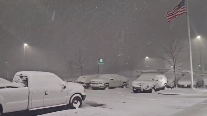
Epic lake-effect snowstorm produces rare thundersnow in New York, waterspouts above Lake Erie
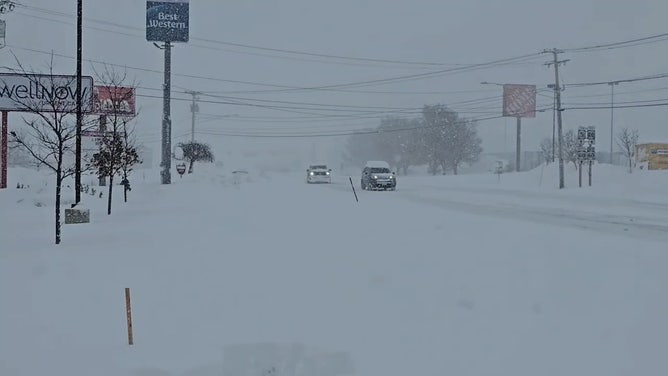
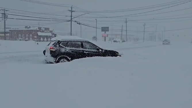
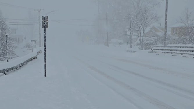
More than 5 feet of snow was reported in some communities downwind of the Great Lakes, and thundersnow and waterspouts were reported in some of the embedded snow bands.
Watch: Thundersnow captured on video in Blasdell, New York
FOX Weather Exclusive Storm Tracker Brandon Copic was streaming live video from Blasdell, New York, on Saturday evening when thundersnow was reported and lightning illuminated the sky.
BUFFALO, N.Y. – A significant lake-effect snowstorm that impacted communities from Michigan through New York produced rare thundersnow and even spawned waterspouts along the shores of Lake Erie.
The winter weather event was fueled by gusty winds moving over the warmer waters of the Great Lakes, causing the warm, moist air to rise until it formed clouds and eventually precipitation.
More than 5 feet of snow was reported in some communities downwind of the Great Lakes, and thundersnow and waterspouts were reported in some of the embedded snow bands.
A video captured by FOX Weather Exclusive Storm Tracker Brandon Copic showed the thundersnow in action on Saturday evening, producing lightning that lit up the sky above Blasdell, New York.
Know Your FOX Weather: Thundersnow
FOX Weather meteorologist Jane Minar breaks down thundersnow and how it forms.
Thundersnow is a rare weather phenomenon where thunder and lightning are observed despite precipitation falling in the frozen variety.
Similar to thunderstorms, thundersnow requires a significant amount of atmospheric instability, and in areas where the phenomenon occurs, snowfall rates can be exceptionally heavy.
Thundersnow was observed in both Watertown and Blasdell, New York, around heavy bands of snow over the weekend.
DOWNLOAD THE FREE FOX WEATHER APP
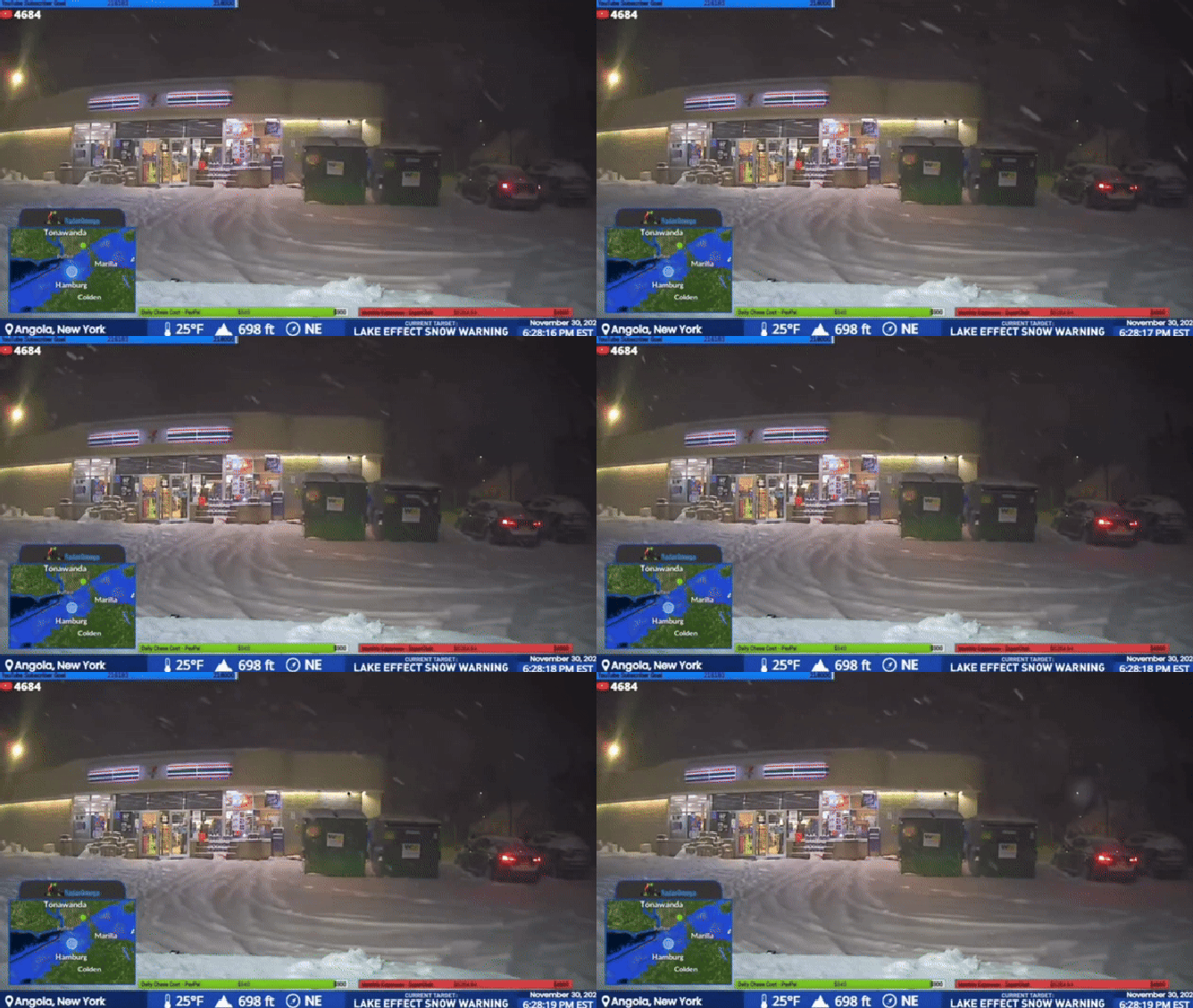
This image shows a lake-effect snowstorm that produced thundersnow in New York state on Saturday, Nov. 30, 2024.
(Brandon Copic / FOX Weather)
Copic said the occurrence of thunder and lightning was rather frequent south of the Buffalo metro on Saturday evening.
The region’s proximity to Lake Erie makes it susceptible to heavy lake-effect snow events, but seeing it combined with thundersnow is a rare occurrence.
Watch: Thundersnow rumbles through western New York
Thundersnow can be heard rumbling across the Buffalo area in western New York as a high-impact, lake-effect snowstorm pounded the Great Lakes region over the weekend.
Also, as expected, waterspouts were observed along the shores of Lake Michigan and Lake Erie.
The twisters are usually a warm-weather phenomenon, but enough of a temperature difference existed between the lakes and the colder air above that the funnels formed.
VIDEO: STATE OF EMERGENCY DECLARED AS FEET OF LAKE-EFFECT SNOW PILES UP ALONG GREAT LAKES
Watch: Waterspouts form on Lake Erie during epic lake-effect snowstorm
Dramatic videos show waterspouts forming above Lake Erie as an epic lake-effect snowstorm blasted the Great Lakes region over the weekend. There were also reports of rare thundersnow in the region as the heavy snow piled up.
None are believed to have caused any damage, and the funnels were difficult to see due to the low cloud cover and snow along the Great Lakes.
In the days leading up to the event, the International Centre for Waterspout Research warned of the possibility of the phenomenon, which is sometimes referred to as "snow spouts."
"Did you know that waterspouts can form when it is snowing? The rarely observed 'snow spout' has been documented around the world, especially over the Great Lakes. Conditions are favorable for snow spouts today and into the weekend over the Great Lakes. Will you see one?" the research group posted on social media, leading up to the snow event.
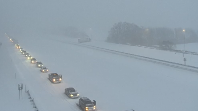
Officials urged residents to stay off the roadways to allow transportation crews space to treat and plow the thoroughfares.
A change in the wind direction on Tuesday is expected to reduce snowfall rates ahead of the next storm system, which could reinvigorate the pattern by the end of the workweek.

(FOX Weather)


