Tropical downpours trigger lingering flooding threat in New England Saturday
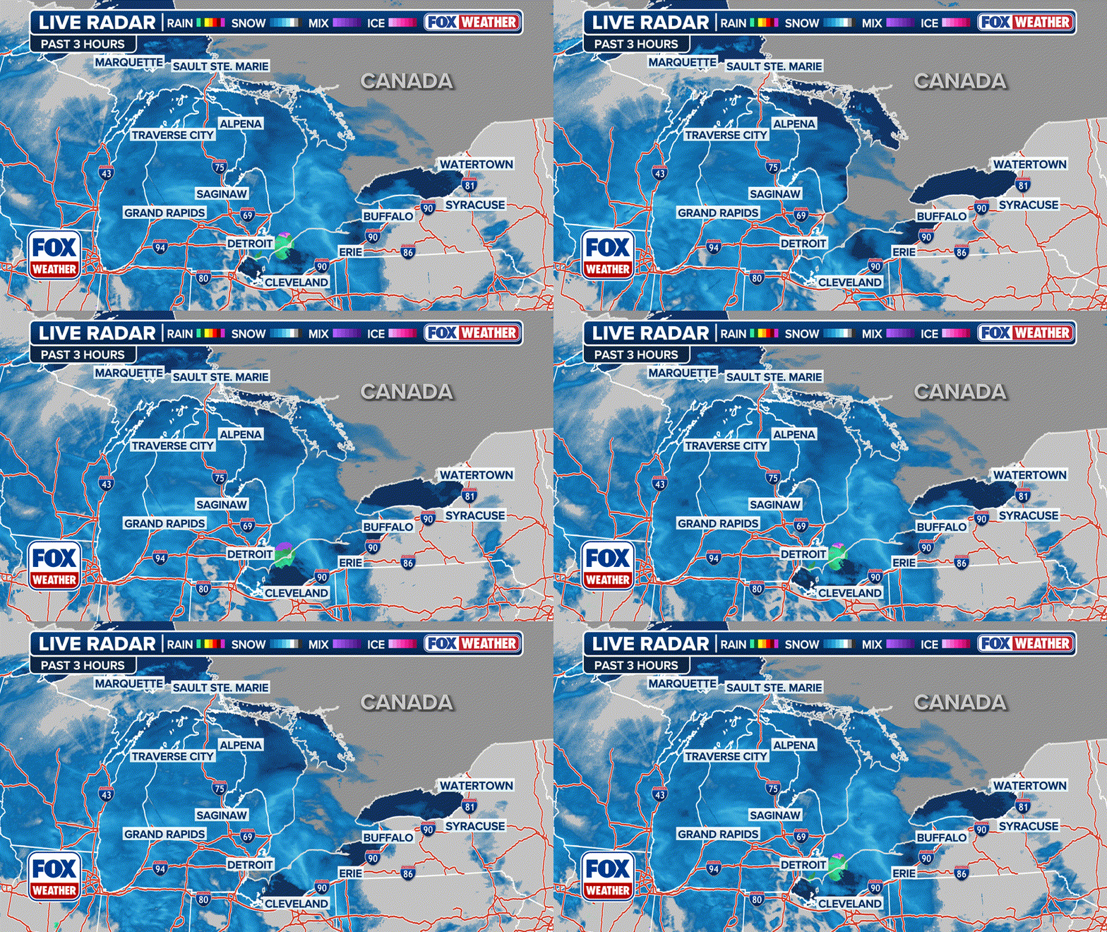
Widespread 24-hour rainfall totals have reached 1-3 inches in the mid-Atlantic region through Friday night with some isolated spots reaching close to 5 inches.
Soaking rains drench New England, prompting Flood Watches Saturday
Another 1-2 inches of rain are possible around Boston and coastal New England as a batch of tropical moisture rolls up the Atlantic Seaboard along a frontal system.
The weekend kicked off on a soggy note across the coastal mid-Atlantic and Northeast as a stream of tropical moisture and a slow-moving frontal boundary conspired to produce periods of heavy rain from North Carolina into the Northeast. But the end of the weekend is looking a lot brighter.
Widespread 24-hour rainfall totals reached 1-3 inches in the mid-Atlantic region through Friday night with some isolated spots reaching close to 5 inches. Wakefield, Virginia had over 3.3 inches of rain by dawn Saturday while a station outside Cape May, New Jersey had over 4.5 inches. About an inch of rain had fallen around New York City.

(FOX Weather)
The National Hurricane Center had been tracking an area of low pressure as it swirled off the southeastern U.S. coast earlier this week for possible tropical development. It never organized into a tropical system but still packed plenty of rain.
With tropical moisture slow to pull away from the Northeast and New England, more heavy rain showers are on the way Saturday there, but there's been a drying trend across the mid-Atlantic.
Flood Watches that had stretched from Baltimore through New York early Saturday morning have expired as the storms push into New England. However, Flood Watches remain across Massachusett – including the greater Boston area – Rhode Island and northern Connecticut into Saturday evening.

(FOX Weather)
Some storms could bring rainfall at rates of 2 inches per hour. Overall, that region could see an additional 1-2 inches of rain with isolated areas reaching 3 inches of rain.
"The moisture is coming from the tropics," Merwin said. "And that means the thunderstorms and the showers will really drop a lot of rain… and that’s why we have some flooding potential."
Widespread sunny conditions will return on Sunday.
