Severe thunderstorms likely for Northeast Monday
May is typically the country’s most active month for tornadoes.

A cold front moving through the heartland brought up to baseball-size hail and flooding rain Sunday to the Southern Plains and South. Monday the threat shifts to the Northeast.
In Pea Ridge, Arkansas, 70 mph winds blew down trees. Two people were injured when a tree fell on their car in Russellville, Arkansas and a tree fell on a house. Wind blew a roof off a storage building and toppled power lines in Hot Springs, Arkansas. Baseball-size hail fell on Okemah, Oklahoma.
HOW TO WATCH FOX WEATHER ON TV
A pre-dawn thunderstorm woke residents near Moulton, Alabama well before alarm clocks.
Early wake-up call
A thunderstorm near Moulton, Alabama woke residents early Sunday morning.
And overnight rains flowed freely over a road in Lodi, Ohio. Camel Creek flooded and put Buffham Road under inches of water.
Roads underwater in Lodi, Ohio
Camel Creek overflowed its bank and swamped Buffham Road in Lodi, Ohio.
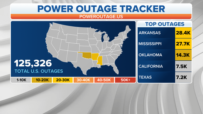
At one point, the storms knocked out power to over 70,000 homes and businesses.

The storm knocked out power to over 70,000 homes Sunday.
(FOX Weather)
Monday
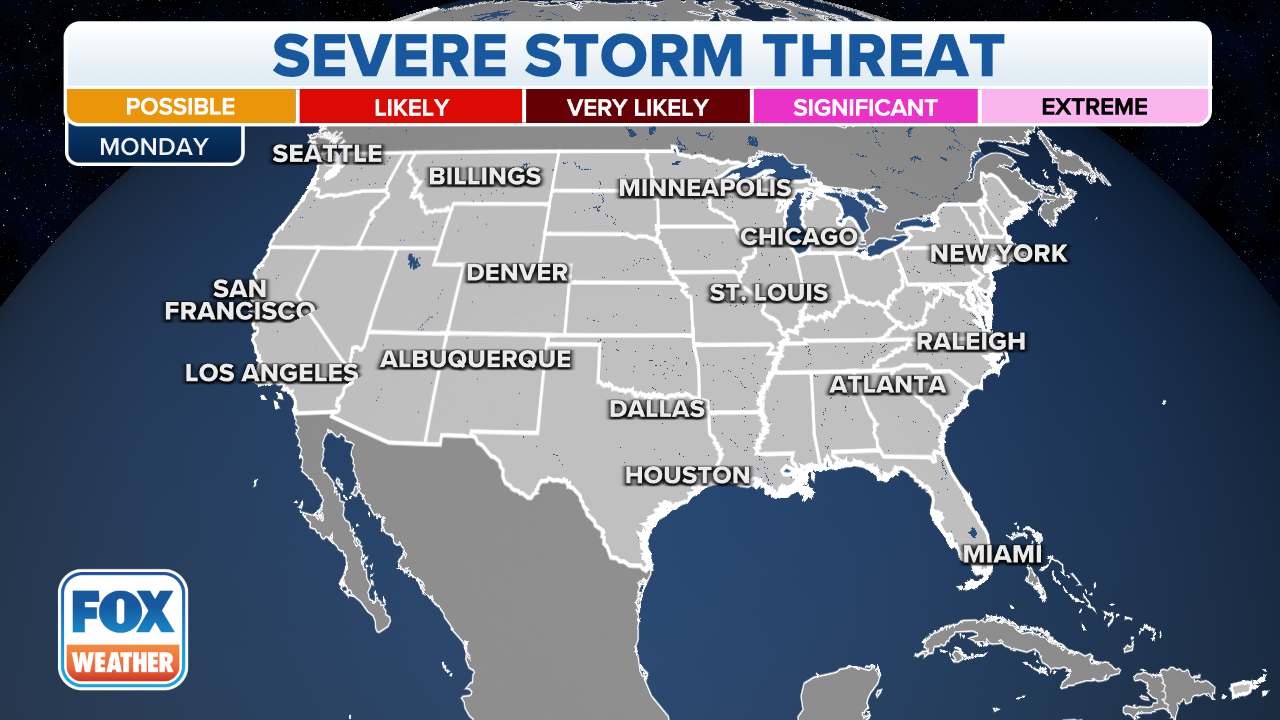
Strong to severe storms are expected Monday from the mid-Atlantic into southern New England.

(FOX Weather)
Like Sunday, the primary risks will be damaging winds and hail, but meteorologists cannot rule out an isolated tornado.
The combination of a front and warm, moist air should allow for showers and thunderstorms to develop during the late morning and early afternoon before pushing eastward.
CLICK HERE TO GET THE FOX WEATHER UPDATE PODCAST
The threat of severe storms will diminish as daytime heating subsides and the atmosphere becomes more stable.
Outside of the torrential rain produced in the storms, forecast models show areas from eastern Pennsylvania through interior Maine might see upwards of two inches of rainfall before the cold front ultimately exists on the East Coast on Tuesday.
Tuesday
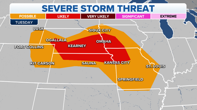
A new storm brings a likely threat of severe weather to Nebraska, Kansas, Missouri and Iowa on Tuesday.

(FOX Weather)
Be sure to download the FOX Weather app for the latest forecast and weather alerts for your exact location, plus the 24/7 livestream of America’s Weather Team.


