Severe thunderstorms threaten millions from Plains to Southeast on Sunday
Scattered severe thunderstorms are possible on Sunday from Colorado to the Carolinas. Heavy rainfall could lead to isolated flooding.
Flash flood threat present from Rockies to Carolinas on Sunday
Sunday will be stormy for millions of Americans from the Rockies to the Southeast with rounds of thunderstorms moving through a large swath of the country bringing hail, lightning and potential flooding.
DENVER – Multiple rounds of storms are forecast to bring high winds, large hail and flash flooding to a large part of the U.S. from the Rockies to the Carolinas on Sunday.
On Sunday, a large portion of the country is susceptible to strong to severe storms that can produce damaging wind gusts, hail and flooding.
"We have what we call a mesoscale convective system, that is continuing to traverse the Plains," FOX Weather Meteorologist Kendall Smith said. "It is still impacting states like Kansas, Missouri, now pushing into places in Tennessee."
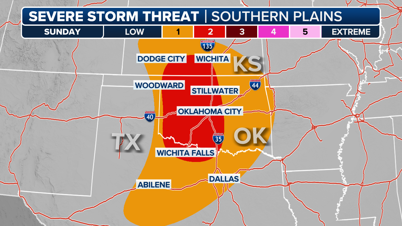
Storms will begin firing off in the morning for southeast Kansas and into Missouri, with thunderstorm activity moving into New Mexico and Texas by the afternoon. Isolated damaging wind gusts and hail are possible for the afternoon and evening hours in Arkansas, Tennessee, northern Mississippi, Alabama and the Carolinas.
Colorado, eastern Wyoming and southeast Montana are forecast to see scattered thunderstorms from Sunday afternoon into the evening.

(FOX Weather)
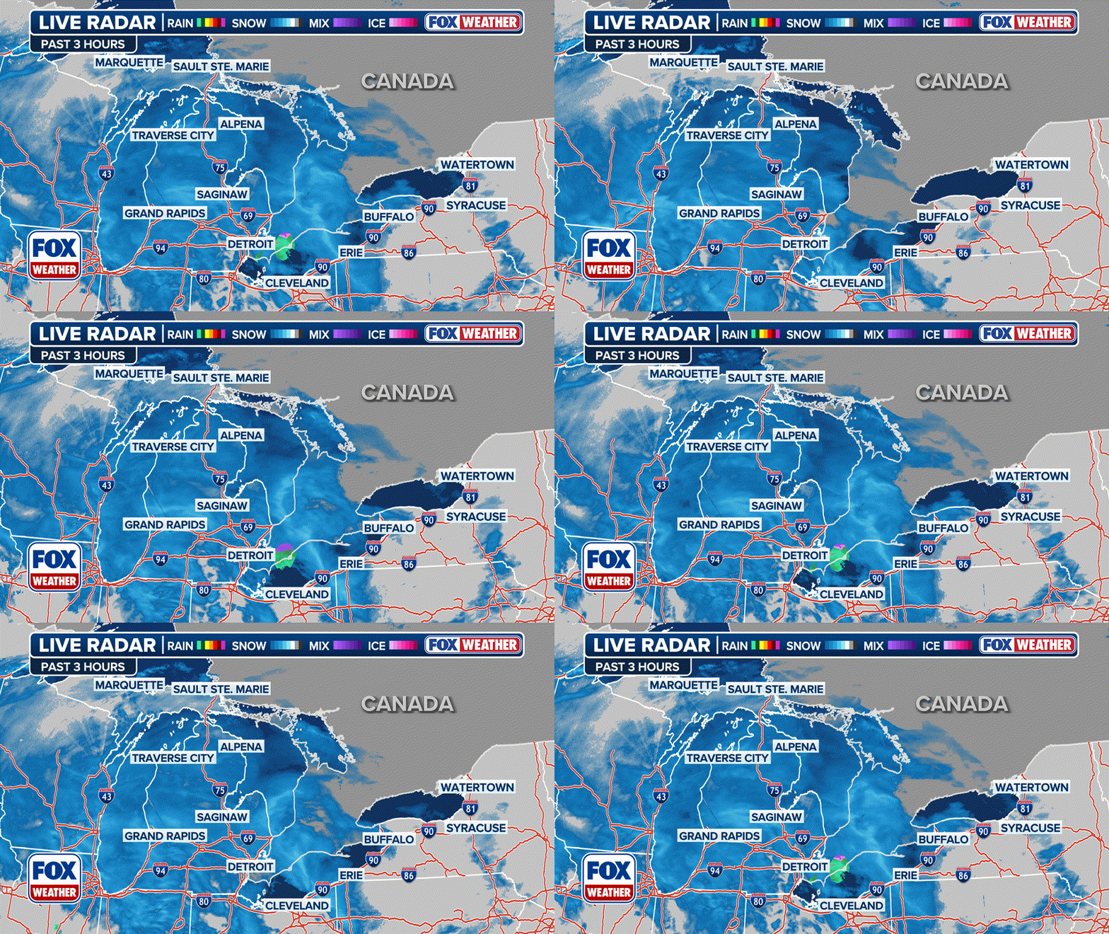
The three-hour radar above shows active weather alerts.
The worst of the storms are expected in a swath that stretches from Arkansas to Alabama. It includes places such as Memphis, Tennessee, and Little Rock, Arkansas.

(FOX Weather)
Severe thunderstorm threat returns for High Plains on Monday
By the start of the workweek, potentially severe weather will continue for the High Plains, with NOAA's SPC issuing a level 2 out of 5 risk for severe thunderstorms for areas including Rapid City, South Dakota and Scottsbluff, Nebraska.

(FOX Weather)
