Severe storms threaten Florida, Southeast on warm side of coast-to-coast winter storm
Damaging 60-plus-mph winds are the main threat, but a tornado cannot entirely be ruled out.
Strong storms on warm side of coast-to-coast winter storm move into Southeast on Monday
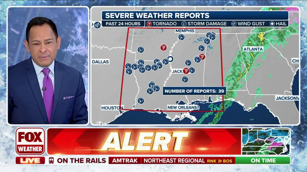
After severe storms erupted across the lower Mississippi Valley on Sunday, the threat for strong storms will shift to the Deep South and Florida peninsula on Monday.
TALLAHASSEE, Fla. – After severe thunderstorms erupted across the lower Mississippi Valley on Sunday, the threat of strong storms will shift to the Southeast and parts of Florida on Monday.
Rain and a few thunderstorms were ongoing from the western Carolinas down to the Florida Panhandle on Monday morning, triggered by the cold front associated with the ongoing deadly winter storm. The front will continue to slide east through the day with more thunderstorms expected to develop along and out ahead of it, the FOX Forecast Center said.
WINTER STORM LIVE TRACKER: SNOWFALL MAPS, CURRENT ALERTS, POWER OUTAGE FORECASTS

(FOX Weather)
Although atmospheric available energy is meager at best, there is enough wind shear in the atmosphere to allow some storms to potentially become severe. Damaging 60-plus-mph winds are the main threat, but a tornado cannot entirely be ruled out.
When the storms reach Central Florida by the late-afternoon hours, a reduction in wind shear and instability in the atmosphere should end the threat of severe weather.

(FOX Weather)
Some of the areas impacted by Sunday's severe storms were recently ravaged by a deadly tornado outbreak last weekend that killed at least four people when severe thunderstorms spawned dozens of tornadoes in at least seven states.
Much colder air arriving in the wake of the coast-to-coast winter storm will end the threat of severe storms by Monday night.
