Winter weather brings snow to I-95 corridor for Christmas Eve
Just days after a strong clipper and coastal low brought multiple inches of snow from the Upper Midwest to the Northeast, another snow-producing system moved through similar areas during the lead-up to Christmas.
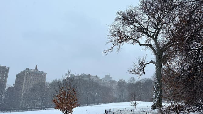
Light snow falls in New York City on Christmas Eve
Parts of the Northeast and New England picked up measurable snow on Christmas Eve. In New York City, it was the most snow to fall on Christmas Eve since 1998.
NEW YORK – It's nearly certain that people in the Upper Midwest, northern Great Lakes, and the interior Northeast will experience a white Christmas.
Just days after a strong clipper and coastal low brought multiple inches of snow from the Upper Midwest to the Northeast, another snow-producing system moved through similar areas during the lead-up to Christmas.
Millions up and down the I-95 corridor awoke Tuesday morning to the perfect mood-setting Christmas Eve snow.
Significant snow was expected across northern New England, and especially Maine, with some places seeing more than 6 inches. Farther south from roughly Boston down toward Philadelphia, a period of light snow moved through through ahead of the storm's cold front.
WHY YOU'LL SEE FEWER WINTER ALERTS ON THE WEATHER MAPS THIS YEAR
Winds were expected to remain weak as the snow fell, leading to a picturesque scene for those getting outside.
While some roads may get slippery, overall, this shouldn't have a major impact on travel unless the roads aren't pre-treated, according to the FOX Forecast Center.
With temperatures expected to remain in the 30s on Christmas Eve and the 20s on Christmas night, the snow will have a very limited chance of melting.
From Delaware through Maryland and into northern Virginia, ice was a bit of an issue Tuesday morning with only a glass expected. The threat ended as temperatures warmed above freezing during the day.


