First snow arrives in Utah blanketing brilliant fall foliage in wintry coat
Park City, Utah, experienced the collision of autumn and winter as the first fall storm brought snow to the western region. The snowfall has continued into Tuesday, with the heaviest amounts occurring in the mountains of Wyoming, northern Utah, and Colorado due to the low-pressure system.
First snow hits Utah
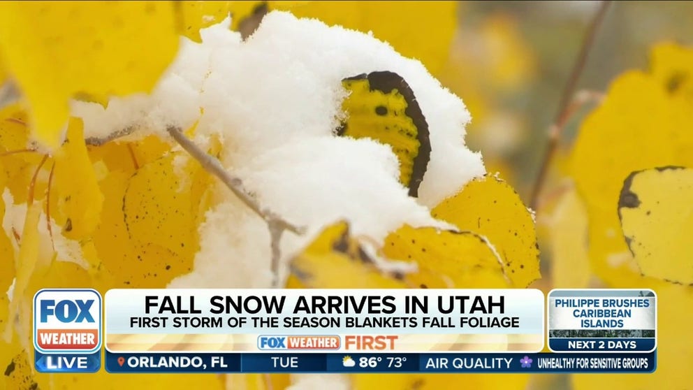
A first October scene is playing out in Utah as a fresh round of snow blankets amber-colored fall foliage. While people are taking advantage of the early snow by skiing and sledding, it's not all fun and games when it comes to the snow. It also is a signal to the Utah Department of Transportation that winter is coming.
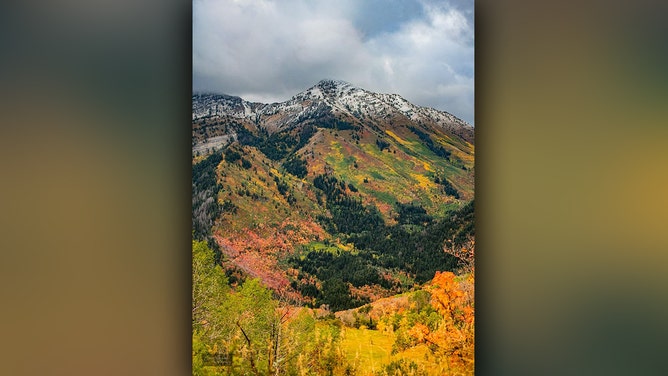
PARK CITY, Utah – A fresh round of snow blankets the amber-colored fall foliage in Utah's first October scene.
On Monday, Park City experienced the collision of autumn and winter as the first fall storm brought snow to the western region. The snowfall has continued into Tuesday, with the heaviest amounts occurring in the mountains of Wyoming, northern Utah, and Colorado due to the low-pressure system.
"A wonderful blend of colorful, fall foliage with a fresh, white snowfall," the Utah Department of Natural Resources said. "Utah's pretty good at this, don't you think?"
THESE ARE THE 7 SNOWIEST CITIES IN THE US

A fresh round of snow blankets the amber-colored fall foliage in Utah's first October scene on Monday.
(Jason Robison via Utah Department of Natural Resources)
Nathan Spight, who was visiting Utah from Alabama for the first time, spoke to FOX 13 in Salt Lake City about the rare sight he was seeing.
"I didn't think I was going to see any snow this early," he said. "You go to the bottom of the mountains, you still get to see all the fall colors, and then up here is like all winter colors and stuff."
Ski resort operators celebrating
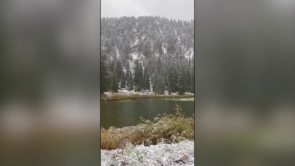
Ski resort operators were excited as snow covered Lake Solitude in the Big Cottonwood Canyon. A video posted by Solitude Mountain Resort on social media shows snowflakes falling on trees.
"It’s a winter wonderland at Lake Solitude right now!" said the resort, which is scheduled to open for winter on Nov. 17.
WHEN IS THE COLDEST TIME OF YEAR?
Ski resort operators rejoice as snow blankets Utah mountains
Ski resort operators in Utah rejoiced as snow blanketed mountains at Lake Solitude in the Big Cottonwood Canyon on Monday.
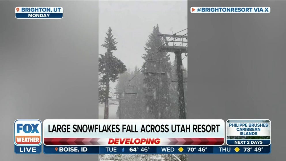
Other ski resorts, such as Brighton Resort and Snowbird, shared photos and videos of the area's snow to generate eagerness for the upcoming season.
"After last season's record-breaking 838 inches of snow, our snowstake needed some love," Snowbird said. "Last week, our teams went out to repair it just in time to record the first 6 inches of snow for 2023-24 season."
WHY SNOWFALL RATE IS IMPORTANT TO UNDERSTANDING WINTER WEATHER
As people enjoy skiing and sledding in the early snow, it's important to remember that the snow also serves as a signal for the Utah Department of Transportation that winter is approaching.
"It was just a while ago we were cleaning up avalanches in Little Cottonwood Canyon, and now we had a hot summer, and now we're back at it," said Jake Brown, a supervisor for UDOT's Region Two. "Every once in a while you get a freak storm that comes through, but nothing to be panicked about, you know, really wet snow."
On Tuesday, partly cloudy skies are expected in southern Utah while northern Utah will see scattered rain showers and snow above 8,500 feet.
HERE’S WHEN TO EXPECT YOUR FIRST FREEZE OF THE SEASON
Large snowflakes fall across Utah resport
One of the season's first fall storms is on the move, bringing some high elevation snow the West, heavy rain and the potential for severe storms to the Plains, and a fairly noticeable drop in temperatures.
"It's that surface trough which is allowing for a whole lot of cooler Canadian air to really just pour into the region," FOX Weather meteorologist Michael Estime said. "You get that cold Canadian air mixing with some moisture and what do you get? You get the rain, you get the showers, you get the thunderstorms, but you also in the highest of elevations get that snow."
The same system is also expected to bring heavy rain and severe storms to the Plains, along with a significant decrease in temperature.
Meanwhile, the National Weather Service anticipates a drying and warming trend to begin across Utah and southwest Wyoming on Wednesday.


