Odds up to 50-50 of tropical trouble developing off Southeast coast as region braces for heavy rain
As the remnants of Hurricane Francine dump heavy rain on parts of the Deep South, the Carolina coast is facing the threat of heavy rain as a coastal low could develop into a tropical system over the weekend or early next week.
Tropical threat eyes the Carolinas into early next week
A complicated weather pattern over the Southeast is looking more likely to generate a tropical-type depression or storm over the next few days just off the coast of the Carolinas.
This system has now been dubbed Invest 95L by the National Hurricane Center, and live coverage of this potential tropical threat off the Southeast U.S. coast has moved to this link.
RALEIGH, N.C. – On the heels of Hurricane Francine, which is raining itself out over the Tennessee Valley, the FOX Forecast Center is monitoring an old frontal boundary off the coast of the Southeast, which could be the focal point for the season’s next tropical disturbance.
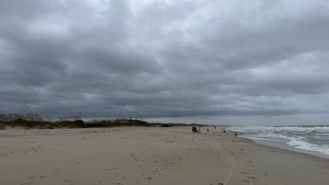
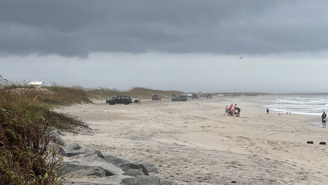
The National Hurricane Center has given the area a medium chance of development over the next week, but tropical cyclone or not, the Carolinas are in store for rainy and, at times, blustery conditions over the weekend and into the first half of the workweek.
"A front that runs from the remnants of (Hurricane) Francine in the Midsouth across North Florida and into the Atlantic will be the catalyst for a low-pressure system to develop offshore of the Georgia coast," says FOX Weather Hurricane Expert Bryan Norcross. "Strong winds from the northeast and east meet a tropical flow from the south along the development zone, which helps create spin in the atmosphere."
BRYAN NORCROSS: A NEW SYSTEM IS LIKELY TO DEVELOP OFF THE CAROLINA COAST
Environmental conditions are not too conducive for rapid development, but some slow organization is possible as the disturbance works north and westward, back toward the coastline.

(FOX WEATHER)
If winds reach 40 mph in the circulation, which a number of computer forecasts predict, it will get the name Helene, Norcross said.
"Really warm waters, and that’s going to be the fuel for the system," FOX Weather Meteorologist Kendall Smith said. "Very easily could be dealing with a tropical (depression) or maybe a subtropical depression early next week, but don’t get caught up in the semantics, the impacts will stay the same."
Forecast models show a widespread swath of 2-5 inches of rainfall, with locally heavier amounts possible mainly east of Interstate 95. This includes the coastal communities of Myrtle Beach in South Carolina and Wilmington and Morehead City in North Carolina.
NOAA's Weather Prediction Center has highlighted the Carolina coast for potential flooding on Monday.
More modest rainfall amounts are expected in inland cities such as Raleigh, Charlotte and even in Richmond, Virginia.
WATCH: HURRICANE ERNESTO’S SWELL CAUSES NORTH CAROLINA HOUSE TO COLLAPSE INTO OCEAN

(FOX WEATHER)
"Residents along the Carolina coast should be ready for an extended period of gusty winds, and nasty weather, which will peak on Monday on the current schedule," Norcross said. "There is no indication at the current time that this system could turn into a hurricane, though we have seen that happen near the coast in the past."
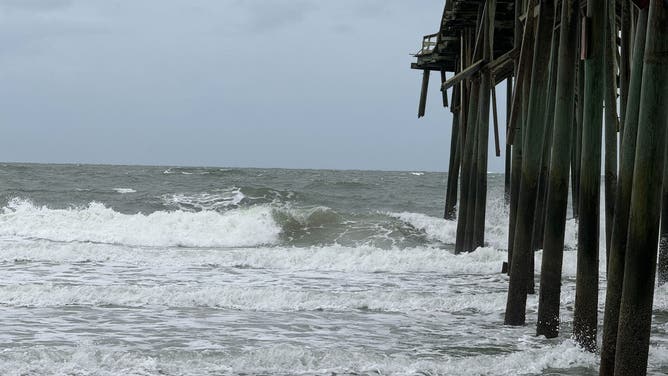
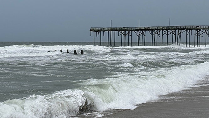
Rough seas to result in rip currents, beach erosion
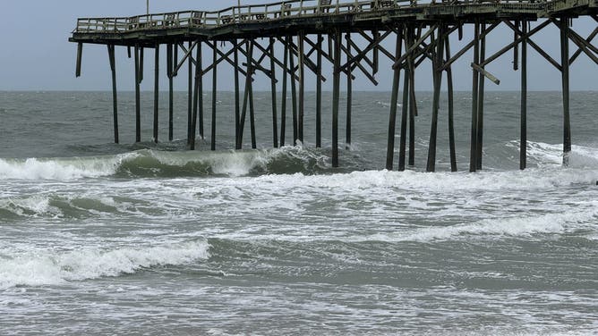
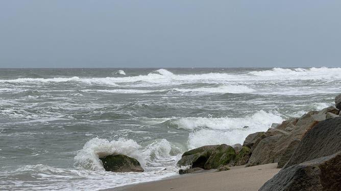
All of the motion in the ocean will lead to rough surf, an increased threat for rip currents and the potential for additional coastal erosion.
The coastline around the Outer Banks and southeast Virginia is highly susceptible to rough seas, as evidenced by swells created by Hurricane Ernesto that were over 1,000 miles away.
WHEN IS THE TYPICAL LAST HURRICANE STRIKE ON THE US COAST?
Waves triggered by the once-Category 2 hurricane caused flooding along North Carolina Highway 12, the main thoroughfare through the islands. At least one abandoned home collapsed into the ocean.
File: North Carolina home collapses into ocean during Ernesto
Video taken Friday from North Carolina’s Outer Banks showed a house falling into the Atlantic Ocean. Scenes of unoccupied homes collapsing have become a common sight along the coastline due to severe erosion. (Chicamacomico Banks Fire & Rescue)
Following the collapse, parts of Cape Hatteras National Seashore were off-limits to swimmers due to concerns about debris in the water.
So far, authorities have given no indications that the surf will outdo the swells of Ernesto or claim any more homes, but the local National Weather Service office in Morehead City, North Carolina, has issued various advisories for beachgoers and boaters, warning about the rough conditions.


