Funnel spotted in DC, microburst reported in Brooklyn as severe storms sweep through Northeast, mid-Atlantic
A wild day of severe storms brought damage to parts of New York City. And in Washington, D.C., a funnel cloud was spotted above the U.S. Capitol building.
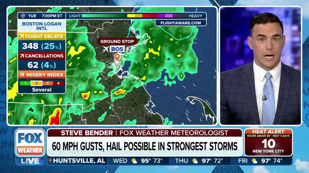
Severe storms slam I-95 corridor from DC through Massachusetts
Hail and 60-mph gusts are possible in areas with the strongest storms. July 25, 2023.
WASHINGTON – Scattered severe thunderstorms pummeled parts of the mid-Atlantic and Northeast on Tuesday, including much of the major I-95 corridor cities of New York, Philadelphia and Washington, D.C. The storms brought heavy rains, strong winds, frequent lightning and even a funnel over the U.S. Capitol.
During the afternoon, a funnel was spotted above the Capitol building in Washington, D.C. The funnel did not pose any risk to the area.

Funnel, not a tornado, over Washington, D.C. on July 25, 2023.
(@PDad / Twitter / FOX Weather)
"That is not a tornadic situation," said FOX Weather meteorologist Jordan Overton. "It doesn't mean there was a tornado. It just means you get kind of spinning, some shear in the atmosphere that are usually kind of really skinny, and they'll be kind of dark in color. They look really scary, but they're not actually tornadic."
Further up north in New York, torrential rain fell over the New York City suburb of Yonkers.
Thunderstorm sweeps through New York
Video shows heavy rainfall in Yonkers, a suburb of New York City. July 25, 2023. (Courtesy: Susie Donah)
A Flash Flood Warning was issued for a portion of Wednesday afternoon in New York City. Heavy rain was seen pouring into the subway, as captured in this video shot at the New Utrecht Ave station in Brooklyn.
Rain pours into subway train in New York City
A video show at the New Utrecht Ave station in Brooklyn shows water pouring into a subway car, as New York City was issued a flash flood warning on July 25, 2023.
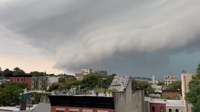
Also, in Brooklyn, a large shelf cloud was seen moving through the area, which preceded wind gusts that reached upwards of 70 mph.
Shelf cloud seen over Brooklyn ahead of severe thunderstorms
Video shows a striated shelf cloud over Brooklyn in New York City. July 25, 2023. (Courtesy: @alexanderhall / Twitter)
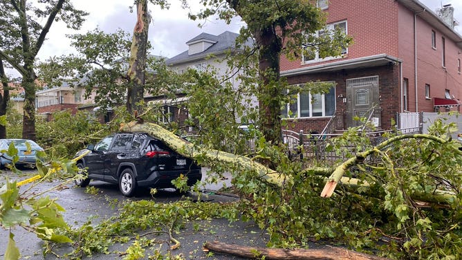
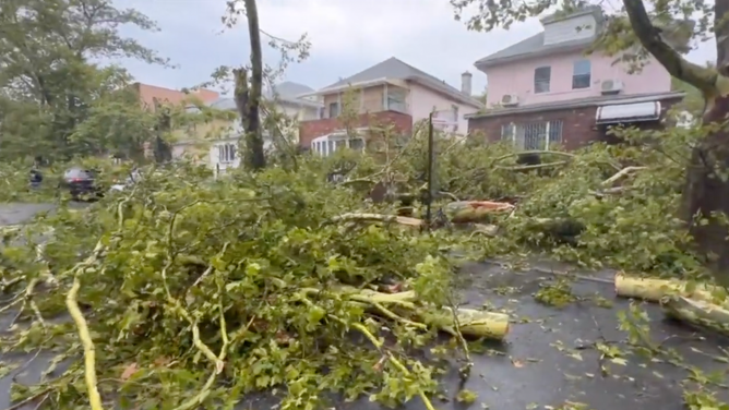
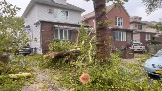
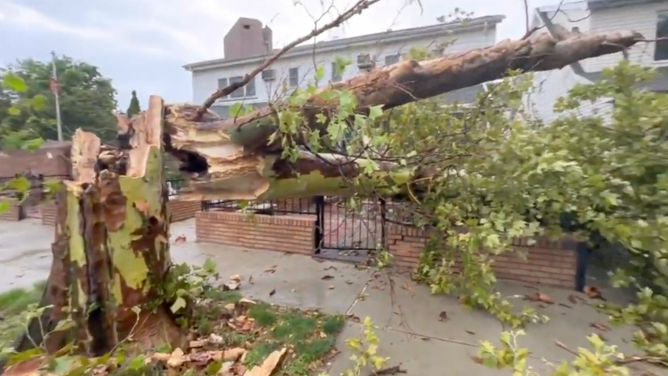
The New York Fire Department reported at least one person was injured when trees began to fall during the storm. Based on damage estimates, the National Weather Service believes a microburst and not a tornado was responsible for some of the damage around New York City.
Storm damage was reported across the Northeast. According to the National Weather Service, powerful wind brought down wires and trees across parts of New York, Massachusetts, Pennsylvania, Maryland and New Jersey.
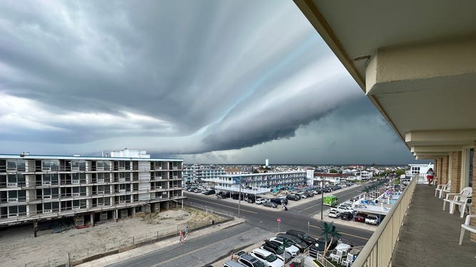
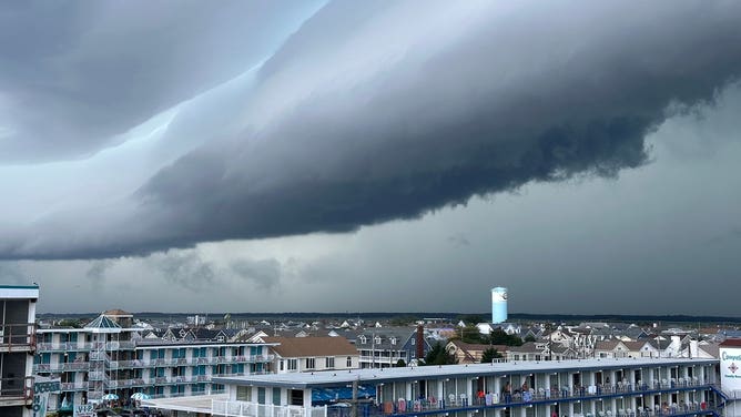
For some residents, the rain resulted in minor flooding in areas such as Ocean City, Maryland.

Minor street flooding in Ocean City, Maryland. July 25, 2023.
(@psuweatherman / Twitter / FOX Weather)
Then comes the heat that will feel like triple digits
Once the storms pass offshore Tuesday night, attention turns to a budding heat wave in the Northeast for the rest of the week, which may add another threat if any power outages from Tuesday's storms linger and air conditioning is lost.
High temperatures on Wednesday will push into the low 90s, then climb into the mid-upper 90s on Thursday that, combined with high humidity, will push the "feels-like" temperatures well past 100 across the region.
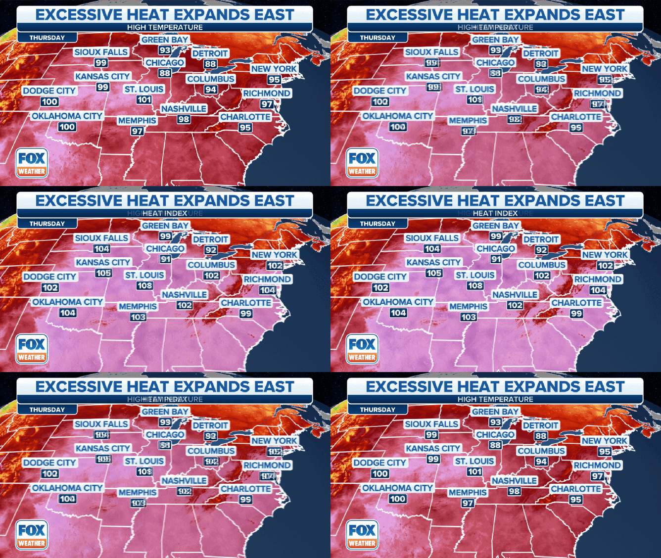
The forecast high and "feels-like" temperature on Thursday, July 27, 2023.
(FOX Weather)
It will remain hot and humid through Saturday, with high temperatures pushing well into the 90s, even nudging close to 100, with heat index readings pushing 110 degrees.
Cooling relief is forecast for Sunday and Monday as high temperatures drop back into the 80s.
